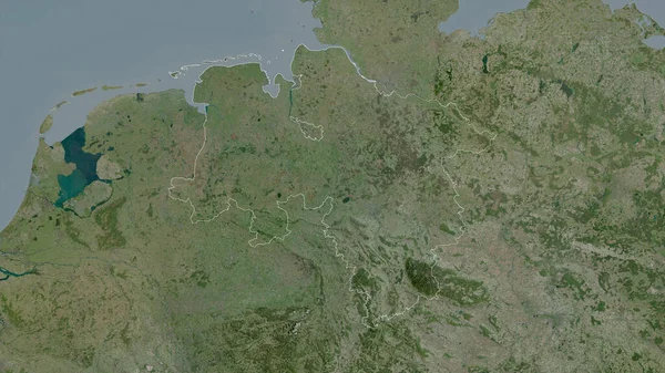
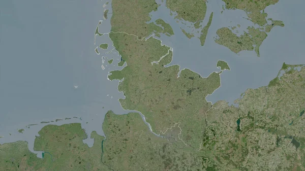
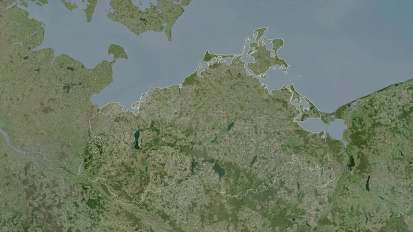
Stock image Schleswig-Holstein, state of Germany. Satellite imagery. Shape outlined against its country area. 3D rendering
Published: Jul.07, 2020 14:12:04
Author: Yarr65
Views: 2
Downloads: 0
File type: image / jpg
File size: 4.59 MB
Orginal size: 2880 x 1620 px
Available sizes:
Level: bronze
Similar stock images

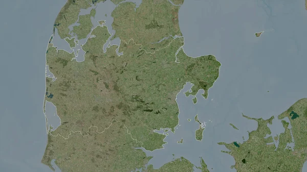
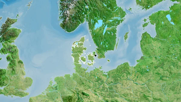
Midtjylland, Region Of Denmark. Satellite Imagery. Shape Outlined Against Its Country Area. 3D Rendering
2880 × 1620