Home
Images
Vectors
Videos
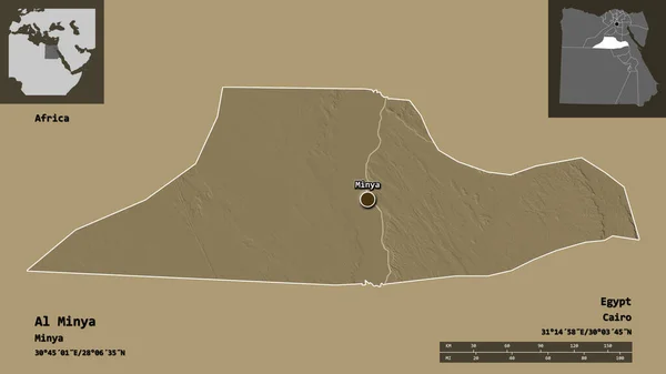
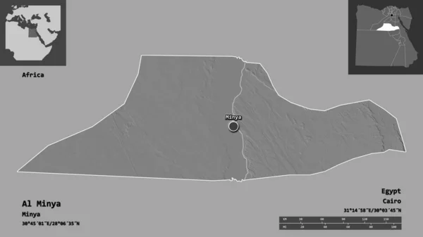
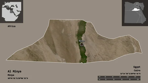
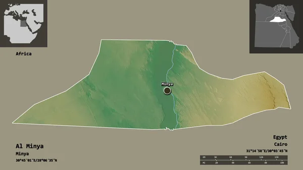
Stock image Shape of Al Minya, governorate of Egypt, and its capital. Distance scale, previews and labels. Topographic relief map. 3D rendering
Published:
Aug.21, 2020 08:29:09
Author:
Yarr65
Views:
4
Downloads:
1
File type:
image
/
jpg
File size:
1.31 MB
Orginal size:
2880
x
1620
px
Available sizes:
S
(500 x 281)
M
(1000 x 563)
L
(2000 x 1125)
XL
(2880 x 1620)
EL0
(2880 x 1620)
Level:
bronze
Download Image
Image topics:
View
Travel
Nature
Sea
Landscape
Earth
Planet
World
Ocean
Science
Relief
Capital
Globe
Profile
Country
Map
Cartography
Geography
Africa
Continent
Egypt
Land
Zoom
Region
Cairo
Territory
Atlas
Overlay
Egy
3d Rendering
Governorate
Minya
Subregion
Minia
Administrative Division
Al Minya
Menia
Minieh
Similar stock images
Shape Of Al Minya, Governorate Of Egypt, And Its Capital. Distance Scale, Previews And Labels. Colored Elevation Map. 3D Rendering
2880 × 1620
Shape Of Al Minya, Governorate Of Egypt, And Its Capital. Distance Scale, Previews And Labels. Bilevel Elevation Map. 3D Rendering
2880 × 1620
Shape Of Al Fayyum, Governorate Of Egypt, And Its Capital. Distance Scale, Previews And Labels. Topographic Relief Map. 3D Rendering
2880 × 1620
Shape Of Bani Suwayf, Governorate Of Egypt, And Its Capital. Distance Scale, Previews And Labels. Topographic Relief Map. 3D Rendering
2880 × 1620
Shape Of Bani Suwayf, Governorate Of Egypt, And Its Capital. Distance Scale, Previews And Labels. Satellite Imagery. 3D Rendering
2880 × 1620
Shape Of Al Minya, Governorate Of Egypt, And Its Capital. Distance Scale, Previews And Labels. Satellite Imagery. 3D Rendering
2880 × 1620
Shape Of Aleppo, Province Of Syria, And Its Capital. Distance Scale, Previews And Labels. Colored Elevation Map. 3D Rendering
2880 × 1620
Shape Of Qina, Governorate Of Egypt, And Its Capital. Distance Scale, Previews And Labels. Colored Elevation Map. 3D Rendering
2880 × 1620