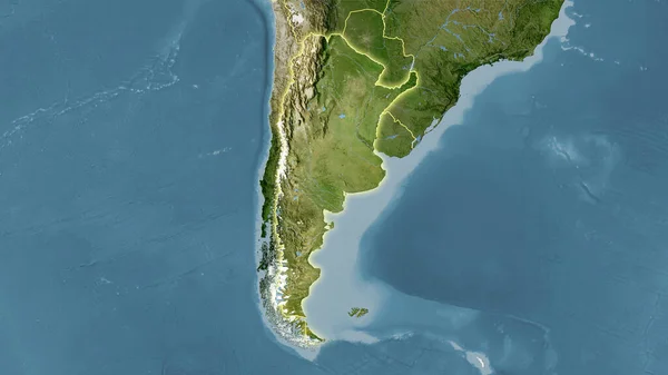
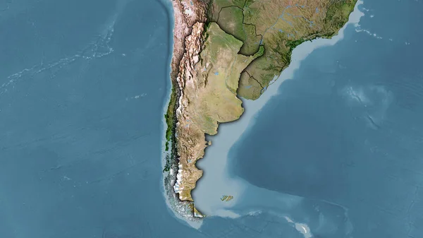
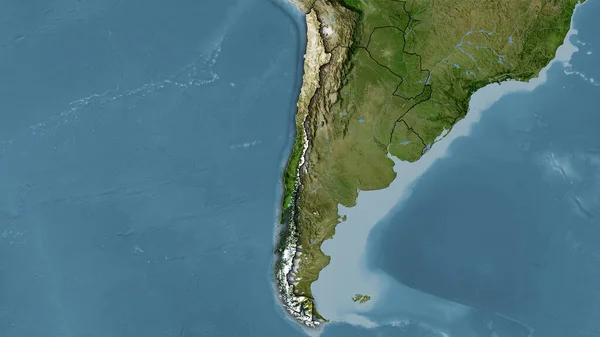
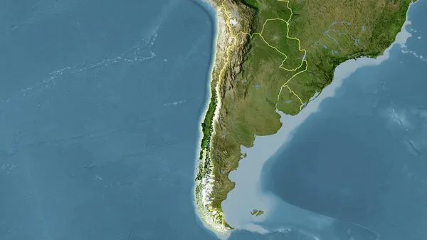
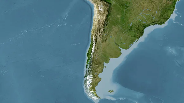
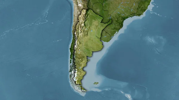
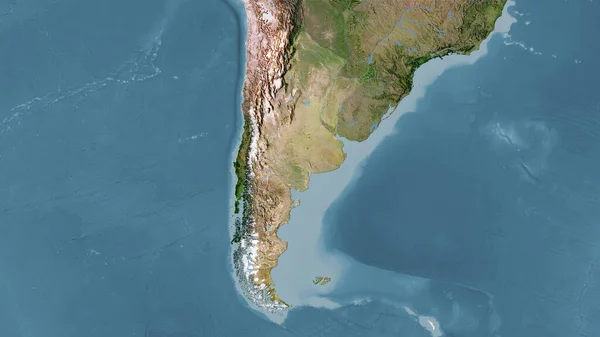
Stock image Shape of Argentina separated by the desaturation of neighboring areas. Borders. Satellite imagery. 3D rendering

Published: Aug.18, 2020 13:48:41
Author: Yarr65
Views: 0
Downloads: 0
File type: image / jpg
File size: 3.62 MB
Orginal size: 3000 x 2000 px
Available sizes:
Level: bronze
Similar stock images
Argentina Area On The Satellite C Map In The Stereographic Projection - Raw Composition Of Raster Layers
2880 × 1620