Home
Images
Vectors
Videos
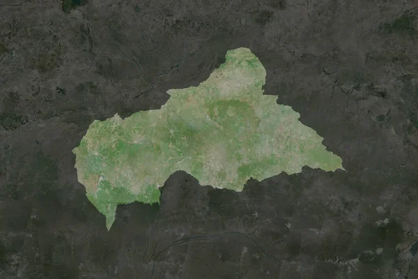
Stock image Shape of Central African Republic separated by the desaturation of neighboring areas. Borders. Satellite imagery. 3D rendering
Published:
Aug.28, 2020 12:36:31
Author:
Yarr65
Views:
0
Downloads:
0
File type:
image
/
jpg
File size:
6.49 MB
Orginal size:
3000
x
2000
px
Available sizes:
S
(500 x 333)
M
(1000 x 667)
L
(2000 x 1333)
XL
(3000 x 2000)
EL0
(3000 x 2000)
Level:
bronze
Download Image
Image topics:
View
Travel
Nature
Sea
Landscape
Earth
Planet
World
Ocean
Science
Capital
Globe
Profile
Country
Map
Cartography
Geography
Africa
Continent
Land
Zoom
Satellite
Region
Territory
Atlas
Overlay
Caf
Bangui
3d Rendering
CENTRAL AFRICAN REPUBLIC
Subregion
Administrative Division
Similar stock images
Shape Of Burkina Faso Separated By The Desaturation Of Neighboring Areas. Borders. Satellite Imagery. 3D Rendering
3000 × 2000
Shape Of Central African Republic Separated By The Desaturation Of Neighboring Areas. Satellite Imagery. 3D Rendering
3000 × 2000
Zoom In On Mpumalanga (province Of South Africa) Outlined. Oblique Perspective. Satellite Imagery. 3D Rendering
3840 × 2160
Copperbelt - Province Of Zambia Zoomed And Highlighted. Satellite Imagery. 3D Rendering
2880 × 1620
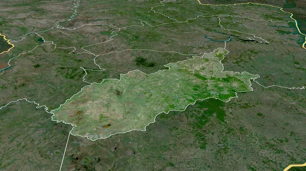
Jasz-Nagykun-Szolnok - County Of Hungary Zoomed And Highlighted. Satellite Imagery. 3D Rendering
2880 × 1620
Zoom In On Orel (region Of Russia) Outlined. Oblique Perspective. Satellite Imagery. 3D Rendering
3840 × 2160
Caazapa- Department Of Paraguay Zoomed And Highlighted. Satellite Imagery. 3D Rendering
2880 × 1620
Nord, Region Of Cameroon. High Resolution Satellite Map
3840 × 2880