photo free
Home Images Vectors Videos

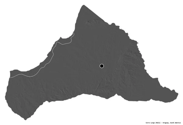
Stock image Shape of Cerro Largo, department of Uruguay, with its capital isolated on a solid color background. Bilevel elevation map. 3D rendering

Stock image Shape of Cerro Largo, department of Uruguay, with its capital isolated on a solid color background. Bilevel elevation map. 3D rendering
Published: Aug.21, 2020 09:35:56
Author: Yarr65
Views: 1
Downloads: 0
File type: image / jpg
File size: 1.11 MB
Orginal size: 3836 x 2628 px
Available sizes:
S
(500 x 343)
M
(1000 x 685)
L
(2000 x 1370)
XL
(3836 x 2628)
EL0
(3836 x 2628)
Level: bronze
Download Image
Image topics:

Similar stock images

stock image Shape of Cerro Largo, department of Uruguay, with its capital isolated on white background. Bilevel elevation map. 3D rendering

Shape Of Cerro Largo, Department Of Uruguay, With Its Capital Isolated On White Background. Bilevel Elevation Map. 3D Rendering

3836 × 2628
stock image Shape of Sud-Ubangi, province of Democratic Republic of the Congo, with its capital isolated on a solid color background. Colored elevation map. 3D rendering

Shape Of Sud-Ubangi, Province Of Democratic Republic Of The Congo, With Its Capital Isolated On A Solid Color Background. Colored Elevation Map. 3D Rendering

3823 × 3836
stock image Shape of Muchinga, province of Zambia, with its capital isolated on a solid color background. Bilevel elevation map. 3D rendering

Shape Of Muchinga, Province Of Zambia, With Its Capital Isolated On A Solid Color Background. Bilevel Elevation Map. 3D Rendering

3505 × 3836
stock image Shape of Guainia, commissiary of Colombia, with its capital isolated on a solid color background. Bilevel elevation map. 3D rendering

Shape Of Guainia, Commissiary Of Colombia, With Its Capital Isolated On A Solid Color Background. Bilevel Elevation Map. 3D Rendering

3836 × 2766
stock image Area of Sumy, region of Ukraine, isolated on a solid background in a georeferenced bounding box. Labels. Bilevel elevation map. 3D rendering

Area Of Sumy, Region Of Ukraine, Isolated On A Solid Background In A Georeferenced Bounding Box. Labels. Bilevel Elevation Map. 3D Rendering

2880 × 1620
stock image Shape of Lunda Sul, province of Angola, with its capital isolated on a solid color background. Colored elevation map. 3D rendering

Shape Of Lunda Sul, Province Of Angola, With Its Capital Isolated On A Solid Color Background. Colored Elevation Map. 3D Rendering

3836 × 3205
stock image Shape of Kwilu, province of Democratic Republic of the Congo, with its capital isolated on white background. Bilevel elevation map. 3D rendering

Shape Of Kwilu, Province Of Democratic Republic Of The Congo, With Its Capital Isolated On White Background. Bilevel Elevation Map. 3D Rendering

3836 × 3300
stock image Shape of Chiba, prefecture of Japan, with its capital isolated on a solid color background. Bilevel elevation map. 3D rendering

Shape Of Chiba, Prefecture Of Japan, With Its Capital Isolated On A Solid Color Background. Bilevel Elevation Map. 3D Rendering

2957 × 3836