Home
Images
Vectors
Videos
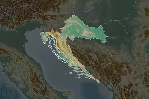
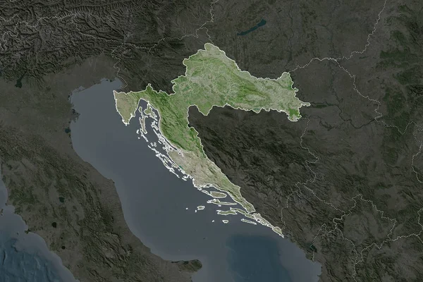
Stock image Shape of Croatia separated by the desaturation of neighboring areas. Borders. Satellite imagery. 3D rendering
Published:
Aug.26, 2020 13:47:21
Author:
Yarr65
Views:
0
Downloads:
0
File type:
image
/
jpg
File size:
6.3 MB
Orginal size:
3000
x
2000
px
Available sizes:
S
(500 x 333)
M
(1000 x 667)
L
(2000 x 1333)
XL
(3000 x 2000)
EL0
(3000 x 2000)
Level:
bronze
Download Image
Image topics:
View
Travel
Nature
Sea
Landscape
Earth
Planet
World
Ocean
Science
Capital
Europe
Globe
Profile
Country
Map
Cartography
Geography
Continent
Land
Zoom
Satellite
Region
Croatia
Territory
Atlas
Overlay
Zagreb
3d Rendering
Subregion
Hrv
Administrative Division
Similar stock images
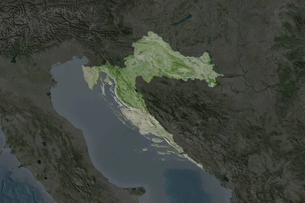
Shape Of Croatia Separated By The Desaturation Of Neighboring Areas. Satellite Imagery. 3D Rendering
3000 × 2000
Shape Of Croatia Separated By The Desaturation Of Neighboring Areas. Borders. Topographic Relief Map. 3D Rendering
3000 × 2000
Kosovo Area On The Satellite D Map In The Stereographic Projection - Raw Composition Of Raster Layers With Light Glowing Outline
2880 × 1620
Shape Of Georgia Separated By The Desaturation Of Neighboring Areas. Borders. Satellite Imagery. 3D Rendering
3000 × 2000
Shape Of Bosnia And Herzegovina Separated By The Desaturation Of Neighboring Areas. Borders. Topographic Relief Map. 3D Rendering
3000 × 2000
Kosovo Area On The Satellite D Map In The Stereographic Projection - Raw Composition Of Raster Layers With Dark Glowing Outline
2880 × 1620
Shape Of Georgia Separated By The Desaturation Of Neighboring Areas. Satellite Imagery. 3D Rendering
3000 × 2000
Zoom In On La Libertad (region Of Peru) Outlined. Oblique Perspective. Satellite Imagery. 3D Rendering
3840 × 2160