Home
Images
Vectors
Videos
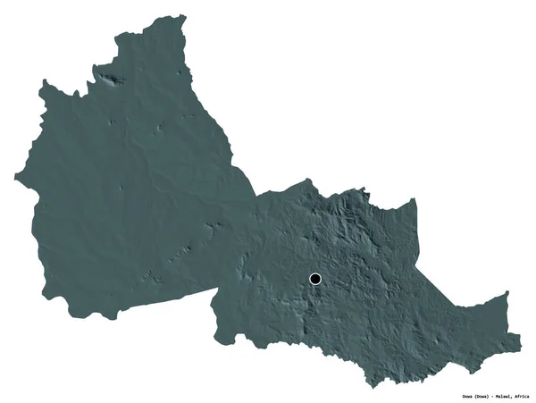
Stock image Shape of Dowa, district of Malawi, with its capital isolated on white background. Colored elevation map. 3D rendering
Published:
Aug.26, 2020 14:00:22
Author:
Yarr65
Views:
0
Downloads:
0
File type:
image
/
jpg
File size:
1.96 MB
Orginal size:
3836
x
2890
px
Available sizes:
S
(500 x 377)
M
(1000 x 753)
L
(2000 x 1507)
XL
(3836 x 2890)
EL0
(3836 x 2890)
Level:
bronze
Download Image
Image topics:
View
Travel
Nature
Sea
Landscape
Earth
Planet
World
Ocean
Science
Capital
Globe
Profile
Country
District
Map
Cartography
Geography
Africa
Continent
Land
Zoom
Administrative
Region
Territory
Malawi
Atlas
Overlay
Lilongwe
3d Rendering
Subregion
Dowa
Administrative Division
Mwi
Similar stock images
Shape Of Milton Keynes, Unitary Authority Of England, With Its Capital Isolated On White Background. Colored Elevation Map. 3D Rendering
3113 × 3836
Shape Of Thuringen, State Of Germany, With Its Capital Isolated On White Background. Colored Elevation Map. 3D Rendering
3836 × 3188
Shape Of Nzerekore, Region Of Guinea, With Its Capital Isolated On White Background. Colored Elevation Map. 3D Rendering
3836 × 3045
Shape Of Basilicata, Region Of Italy, With Its Capital Isolated On White Background. Colored Elevation Map. 3D Rendering
3685 × 3836
Shape Of Bedford, Administrative County Of England, With Its Capital Isolated On White Background. Colored Elevation Map. 3D Rendering
3756 × 3836
Shape Of Rotherham, Administrative County Of England, With Its Capital Isolated On White Background. Colored Elevation Map. 3D Rendering
3708 × 3836
Shape Of Doncaster, Administrative County Of England, With Its Capital Isolated On White Background. Colored Elevation Map. 3D Rendering
3836 × 3455
Shape Of Barnsley, Administrative County Of England, With Its Capital Isolated On White Background. Colored Elevation Map. 3D Rendering
3836 × 2153