Home
Images
Vectors
Videos
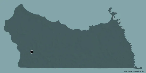
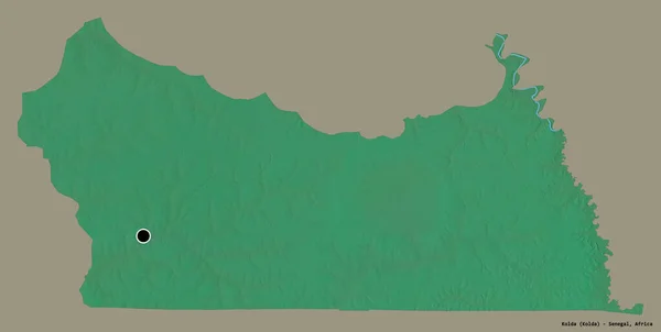
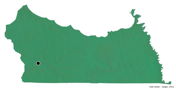
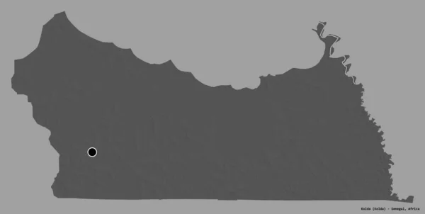
Stock image Shape of Kolda, region of Senegal, with its capital isolated on a solid color background. Bilevel elevation map. 3D rendering
Published:
Sep.16, 2020 07:44:29
Author:
Yarr65
Views:
0
Downloads:
0
File type:
image
/
jpg
File size:
0.58 MB
Orginal size:
3836
x
1936
px
Available sizes:
S
(500 x 252)
M
(1000 x 505)
L
(2000 x 1009)
XL
(3836 x 1936)
EL0
(3836 x 1936)
Level:
bronze
Download Image
Image topics:
View
Travel
Nature
Sea
Landscape
Earth
Planet
World
Ocean
Science
Capital
Globe
Profile
Country
Map
Cartography
Geography
Africa
Continent
Land
Zoom
Region
Territory
Atlas
Overlay
Senegal
Dakar
Sen
3d Rendering
Subregion
Bilevel
Kolda
Administrative Division
Similar stock images
Shape Of Kolda, Region Of Senegal, With Its Capital Isolated On White Background. Bilevel Elevation Map. 3D Rendering
3836 × 1936
Shape Of Kolda, Region Of Senegal, With Its Capital Isolated On A Solid Color Background. Colored Elevation Map. 3D Rendering
3836 × 1936
Shape Of Kolda, Region Of Senegal, With Its Capital Isolated On White Background. Colored Elevation Map. 3D Rendering
3836 × 1936
Shape Of Kolda, Region Of Senegal, With Its Capital Isolated On A Solid Color Background. Topographic Relief Map. 3D Rendering
3836 × 1936
Shape Of Kolda, Region Of Senegal, With Its Capital Isolated On White Background. Composition Of Patterned Textures. 3D Rendering
3836 × 1936
Shape Of Cunene, Province Of Angola, With Its Capital Isolated On A Solid Color Background. Composition Of Patterned Textures. 3D Rendering
3836 × 2244
Gilliam County, Oregon State (U.S. County, United States Of America, USA, U.S., US) Map Vector Illustration, Scribble Sketch Gilliam Map
7087 × 4726
Shape Of Kolda, Region Of Senegal, With Its Capital Isolated On White Background. Topographic Relief Map. 3D Rendering
3836 × 1936