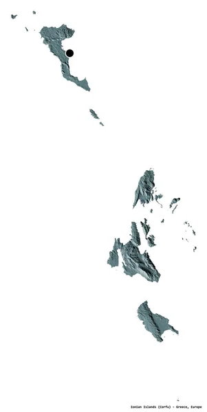
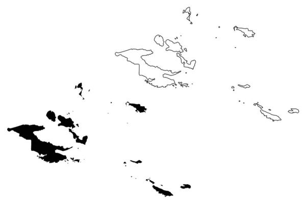
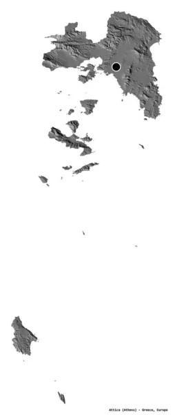
Stock image Shape of Milne Bay, province of Papua New Guinea, with its capital isolated on white background. Bilevel elevation map. 3D rendering

Published: Aug.27, 2020 08:23:07
Author: Yarr65
Views: 0
Downloads: 0
File type: image / jpg
File size: 0.51 MB
Orginal size: 3836 x 2533 px
Available sizes:
Level: bronze