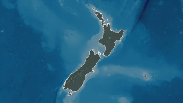
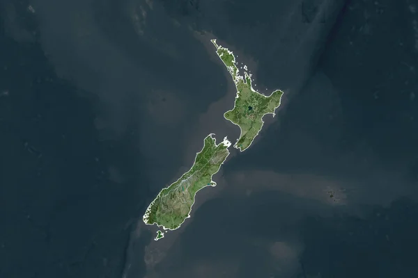
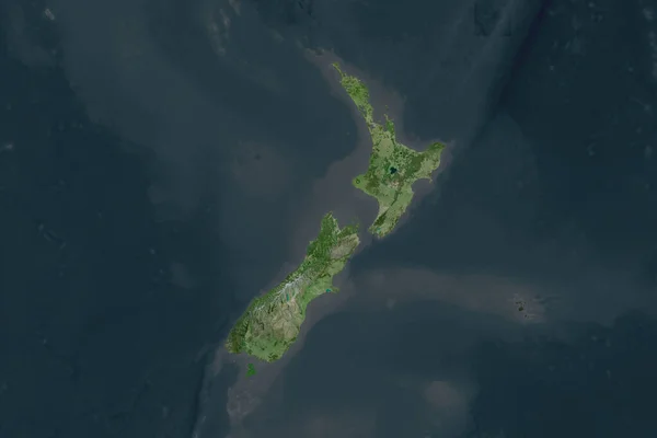
Stock image Shape of New Zealand separated by the desaturation of neighboring areas. Satellite imagery. 3D rendering
Published: Sep.16, 2020 07:05:09
Author: Yarr65
Views: 0
Downloads: 0
File type: image / jpg
File size: 1.7 MB
Orginal size: 3000 x 2000 px
Available sizes:
Level: bronze
Similar stock images
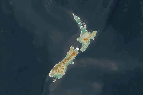


Outlined Shape Of The New Zealand Area. Topographic Relief Map With Surface Waters. 3D Rendering
3840 × 2160