photo free
Home Images Vectors Videos

Stock image Shape of Toledo, district of Belize, with its capital isolated on white background. Bilevel elevation map. 3D rendering

Stock image Shape of Toledo, district of Belize, with its capital isolated on white background. Bilevel elevation map. 3D rendering
Published: Aug.18, 2020 11:45:48
Author: Yarr65
Views: 4
Downloads: 0
File type: image / jpg
File size: 3.19 MB
Orginal size: 3836 x 3333 px
Available sizes:
S
(500 x 434)
M
(1000 x 869)
L
(2000 x 1738)
XL
(3836 x 3333)
EL0
(3836 x 3333)
Level: bronze
Download Image
Image topics:

Similar stock images

stock image Shape of Toledo, district of Belize, with its capital isolated on a solid color background. Bilevel elevation map. 3D rendering

Shape Of Toledo, District Of Belize, With Its Capital Isolated On A Solid Color Background. Bilevel Elevation Map. 3D Rendering

3836 × 3333
stock image Shape of Toledo, district of Belize, with its capital isolated on white background. Colored elevation map. 3D rendering

Shape Of Toledo, District Of Belize, With Its Capital Isolated On White Background. Colored Elevation Map. 3D Rendering

3836 × 3333
stock image Shape of Tierra del Fuego, national territory of Argentina, with its capital isolated on white background. Bilevel elevation map. 3D rendering

Shape Of Tierra Del Fuego, National Territory Of Argentina, With Its Capital Isolated On White Background. Bilevel Elevation Map. 3D Rendering

3836 × 3133
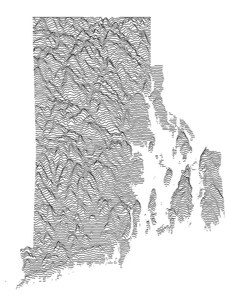
stock vector Topographic Relief Peaks and Valleys Map of US Federal State of Rhode Island

Topographic Relief Peaks And Valleys Map Of US Federal State Of Rhode Island

3600 × 4800
stock image Shape of Connecticut, state of Mainland United States, with its capital isolated on a solid color background. Bilevel elevation map. 3D rendering

Shape Of Connecticut, State Of Mainland United States, With Its Capital Isolated On A Solid Color Background. Bilevel Elevation Map. 3D Rendering

3836 × 3795
stock image Connecticut, state of United States of America. Bilevel elevation map with lakes and rivers

Connecticut, State Of United States Of America. Bilevel Elevation Map With Lakes And Rivers

3840 × 2880
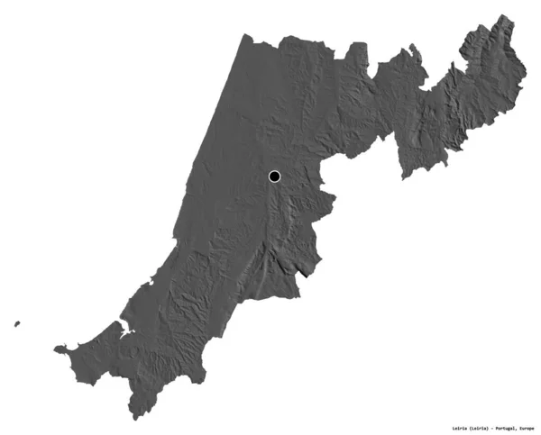
stock image Shape of Leiria, district of Portugal, with its capital isolated on white background. Bilevel elevation map. 3D rendering

Shape Of Leiria, District Of Portugal, With Its Capital Isolated On White Background. Bilevel Elevation Map. 3D Rendering

3836 × 3094
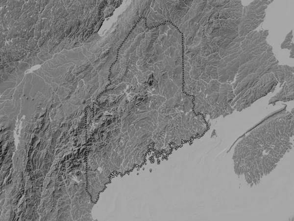
stock image Maine, state of United States of America. Bilevel elevation map with lakes and rivers

Maine, State Of United States Of America. Bilevel Elevation Map With Lakes And Rivers

3840 × 2880