photo free
Home Images Vectors Videos

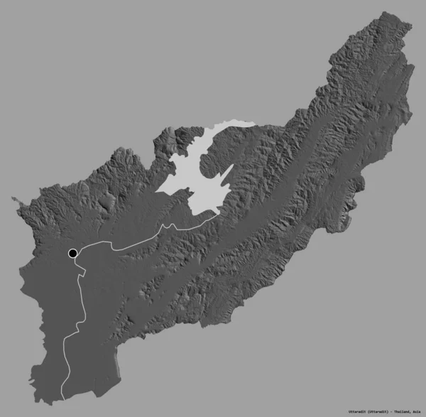
Stock image Shape of Uttaradit, province of Thailand, with its capital isolated on white background. Bilevel elevation map. 3D rendering

Stock image Shape of Uttaradit, province of Thailand, with its capital isolated on white background. Bilevel elevation map. 3D rendering
Published: Aug.21, 2020 09:15:10
Author: Yarr65
Views: 0
Downloads: 0
File type: image / jpg
File size: 2.06 MB
Orginal size: 3836 x 3754 px
Available sizes:
S
(500 x 489)
M
(1000 x 979)
L
(2000 x 1957)
XL
(3836 x 3754)
EL0
(3836 x 3754)
Level: bronze
Download Image
Image topics:

Similar stock images

stock image Shape of Uttaradit, province of Thailand, with its capital isolated on a solid color background. Bilevel elevation map. 3D rendering

Shape Of Uttaradit, Province Of Thailand, With Its Capital Isolated On A Solid Color Background. Bilevel Elevation Map. 3D Rendering

3836 × 3754
stock image Shape of Uttaradit, province of Thailand, with its capital isolated on white background. Colored elevation map. 3D rendering

Shape Of Uttaradit, Province Of Thailand, With Its Capital Isolated On White Background. Colored Elevation Map. 3D Rendering

3836 × 3754
stock image Shape of Jinotega, department of Nicaragua, with its capital isolated on white background. Bilevel elevation map. 3D rendering

Shape Of Jinotega, Department Of Nicaragua, With Its Capital Isolated On White Background. Bilevel Elevation Map. 3D Rendering

3354 × 3836
stock image Shape of Hamgyong-namdo, province of North Korea, with its capital isolated on white background. Bilevel elevation map. 3D rendering

Shape Of Hamgyong-namdo, Province Of North Korea, With Its Capital Isolated On White Background. Bilevel Elevation Map. 3D Rendering

3701 × 3836
stock image Shape of Tamil Nadu, state of India, with its capital isolated on white background. Bilevel elevation map. 3D rendering

Shape Of Tamil Nadu, State Of India, With Its Capital Isolated On White Background. Bilevel Elevation Map. 3D Rendering

2895 × 3836
stock image Shape of Moyen-Ogooue, province of Gabon, with its capital isolated on white background. Colored elevation map. 3D rendering

Shape Of Moyen-Ogooue, Province Of Gabon, With Its Capital Isolated On White Background. Colored Elevation Map. 3D Rendering

3836 × 2856
stock image Shape of Vihiga, county of Kenya, with its capital isolated on white background. Bilevel elevation map. 3D rendering

Shape Of Vihiga, County Of Kenya, With Its Capital Isolated On White Background. Bilevel Elevation Map. 3D Rendering

3836 × 2518
stock image Shape of Arunachal Pradesh, state of India, with its capital isolated on white background. Bilevel elevation map. 3D rendering

Shape Of Arunachal Pradesh, State Of India, With Its Capital Isolated On White Background. Bilevel Elevation Map. 3D Rendering

3836 × 2280