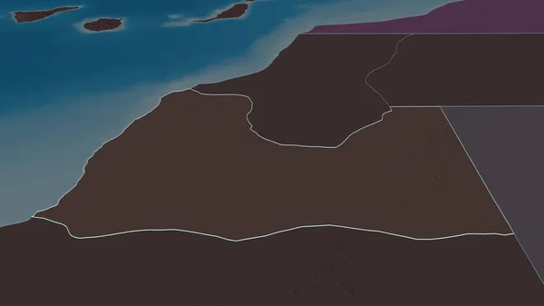
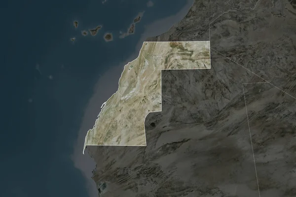
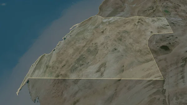
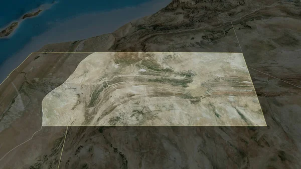
Stock image Shape of Western Sahara separated by the desaturation of neighboring areas. Satellite imagery. 3D rendering

Published: Sep.16, 2020 08:30:24
Author: Yarr65
Views: 0
Downloads: 0
File type: image / jpg
File size: 3.5 MB
Orginal size: 3000 x 2000 px
Available sizes:
Level: bronze
Similar stock images

Zoom In On Al Ahmadi (province Of Kuwait) Extruded. Oblique Perspective. Satellite Imagery. 3D Rendering
3840 × 2160
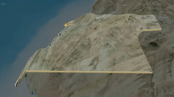

Es Semara - Province Of Western Sahara Zoomed And Highlighted. Satellite Imagery. 3D Rendering
2880 × 1620