Home
Images
Vectors
Videos
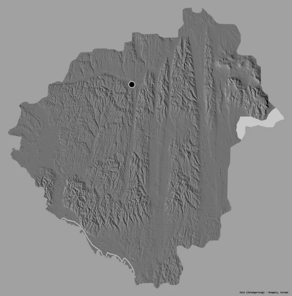
Stock image Shape of Zala, county of Hungary, with its capital isolated on a solid color background. Bilevel elevation map. 3D rendering
Published:
Aug.28, 2020 10:43:32
Author:
Yarr65
Views:
8
Downloads:
0
File type:
image
/
jpg
File size:
4.23 MB
Orginal size:
3779
x
3836
px
Available sizes:
S
(493 x 500)
M
(985 x 1000)
L
(1970 x 2000)
XL
(3779 x 3836)
EL0
(3779 x 3836)
Level:
bronze
Download Image
Image topics:
View
Travel
Nature
Sea
Landscape
Earth
Planet
World
Ocean
Science
Capital
Europe
Globe
Profile
Country
Map
Cartography
Geography
Continent
Land
Zoom
Region
Territory
Atlas
Budapest
Hungary
County
Overlay
Zala
3d Rendering
Hun
Zalaegerszeg
Subregion
Bilevel
Administrative Division
Similar stock images
Shape Of Baranya, County Of Hungary, With Its Capital Isolated On A Solid Color Background. Bilevel Elevation Map. 3D Rendering
3836 × 3035
Shape Of Tripura, State Of India, With Its Capital Isolated On A Solid Color Background. Bilevel Elevation Map. 3D Rendering
2569 × 3836
Shape Of Jihocesky, Region Of Czech Republic, With Its Capital Isolated On A Solid Color Background. Bilevel Elevation Map. 3D Rendering
3836 × 3047
Shape Of Zala, County Of Hungary, With Its Capital Isolated On White Background. Bilevel Elevation Map. 3D Rendering
3779 × 3836
Shape Of Branicevski, District Of Serbia, With Its Capital Isolated On A Solid Color Background. Bilevel Elevation Map. 3D Rendering
3745 × 3836
Shape Of Basilicata, Region Of Italy, With Its Capital Isolated On A Solid Color Background. Bilevel Elevation Map. 3D Rendering
3685 × 3836
Shape Of Ngounie, Province Of Gabon, With Its Capital Isolated On A Solid Color Background. Bilevel Elevation Map. 3D Rendering
3836 × 3310
Shape Of Kericho, County Of Kenya, With Its Capital Isolated On A Solid Color Background. Bilevel Elevation Map. 3D Rendering
3760 × 3836