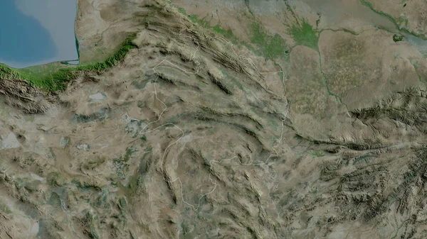
Stock image Sind, province of Pakistan. Satellite imagery. Shape outlined against its country area. 3D rendering

Published: Sep.16, 2020 07:12:37
Author: Yarr65
Views: 5
Downloads: 0
File type: image / jpg
File size: 6.42 MB
Orginal size: 2880 x 1620 px
Available sizes:
Level: bronze
Similar stock images

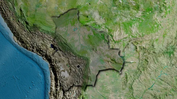
Close-up Of The Bolivia Border Area On A Satellite Map. Capital Point. Bevelled Edges Of The Country Shape.
3840 × 2160
Razavi Khorasan, Province Of Iran. Satellite Imagery. Shape Outlined Against Its Country Area. 3D Rendering
2880 × 1620

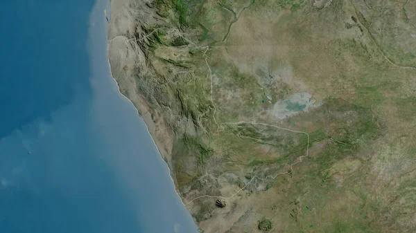
Baluchistan, Province Of Pakistan. Satellite Imagery. Shape Outlined Against Its Country Area. 3D Rendering
2880 × 1620