photo free
Home Images Vectors Videos

Stock image South Carolina, state of United States of America. Low resolution satellite map
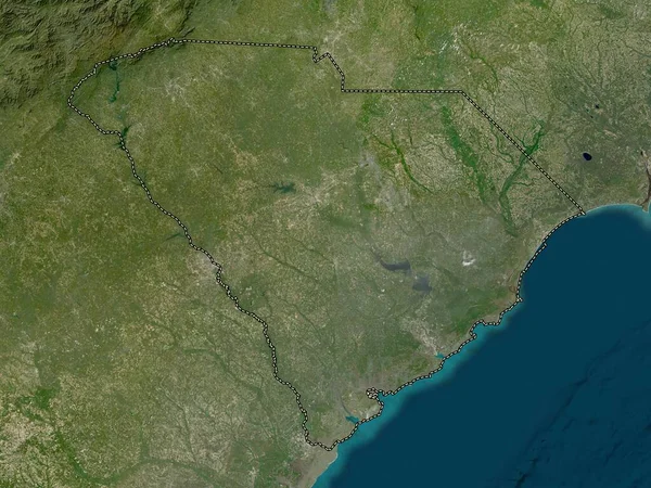
Stock image South Carolina, state of United States of America. Low resolution satellite map
Published: Apr.14, 2023 13:17:53
Author: Yarr65
Views: 0
Downloads: 0
File type: image / jpg
File size: 9.27 MB
Orginal size: 3840 x 2880 px
Available sizes:
S
(500 x 375)
M
(1000 x 750)
L
(2000 x 1500)
XL
(3840 x 2880)
EL0
(3840 x 2880)
Level: bronze
Download Image
Image topics:

Similar stock images

stock image South Carolina, state of United States of America. High resolution satellite map

South Carolina, State Of United States Of America. High Resolution Satellite Map

3840 × 2880
stock image North Carolina, state of United States of America. Low resolution satellite map

North Carolina, State Of United States Of America. Low Resolution Satellite Map

3840 × 2880
stock image South Carolina, state of United States of America. Elevation map colored in wiki style with lakes and rivers

South Carolina, State Of United States Of America. Elevation Map Colored In Wiki Style With Lakes And Rivers

3840 × 2880
stock image North Carolina, state of United States of America. High resolution satellite map

North Carolina, State Of United States Of America. High Resolution Satellite Map

3840 × 2880
stock image Nuevo Leon, state of Mexico. High resolution satellite map

Nuevo Leon, State Of Mexico. High Resolution Satellite Map

3840 × 2880
stock image Santa Catarina, state of Brazil. High resolution satellite map

Santa Catarina, State Of Brazil. High Resolution Satellite Map

3840 × 2880
stock image Tamaulipas, state of Mexico. High resolution satellite map

Tamaulipas, State Of Mexico. High Resolution Satellite Map

3840 × 2880
stock image Kie-Ntem, province of Equatorial Guinea. High resolution satellite map

Kie-Ntem, Province Of Equatorial Guinea. High Resolution Satellite Map

3840 × 2880