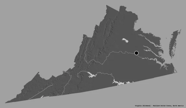
Stock image Staunton independent city location highlighted by black color on Virginia state map, United States, usa, us

Published: Jul.25, 2024 09:08:11
Author: akhtaransari
Views: 0
Downloads: 0
File type: image / jpg
File size: 4.46 MB
Orginal size: 8000 x 5334 px
Available sizes:
Level: beginner