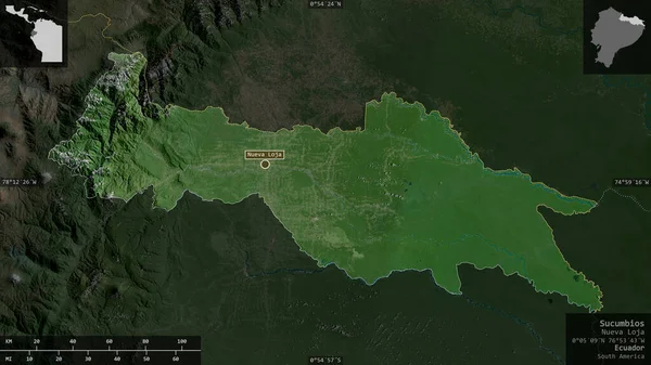
Stock image Sucumbios, province of Ecuador. Satellite imagery. Shape presented against its country area with informative overlays. 3D rendering
Published: Jun.26, 2020 07:37:18
Author: Yarr65
Views: 30
Downloads: 0
File type: image / jpg
File size: 5.44 MB
Orginal size: 2880 x 1620 px
Available sizes:
Level: bronze