Home
Images
Vectors
Videos
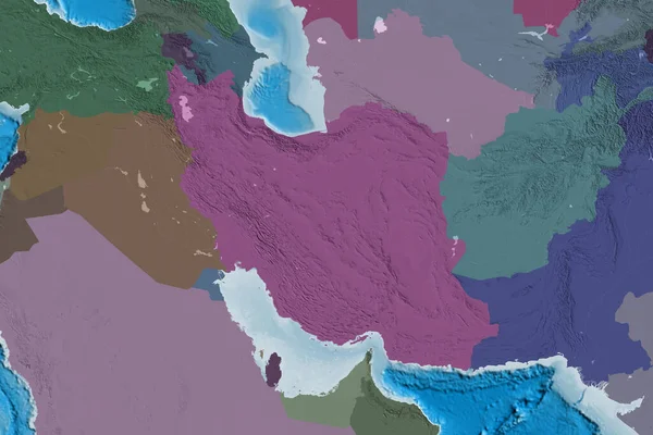
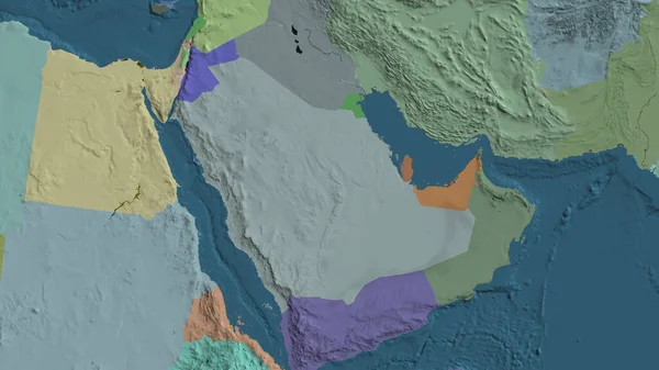
Stock image Sudan zoomed and neighborhood. Colored and bumped map of the administrative division. 3D rendering
Published:
Aug.04, 2020 13:34:45
Author:
Yarr65
Views:
0
Downloads:
0
File type:
image
/
jpg
File size:
2.67 MB
Orginal size:
2880
x
1620
px
Available sizes:
S
(500 x 281)
M
(1000 x 563)
L
(2000 x 1125)
XL
(2880 x 1620)
EL0
(2880 x 1620)
Level:
bronze
Download Image
Image topics:
View
Shape
Travel
Nature
Sea
Border
Landscape
Glow
Earth
Planet
World
Ocean
Science
Capital
Globe
Profile
Outline
Country
Map
Cartography
Geography
Africa
Continent
Land
Zoom
Administrative
Region
Territory
Atlas
Neighborhood
Overlay
Sudan
Khartoum
3d Rendering
Sdn
Subregion
Administrative Division
Similar stock images
Administrative Map Centered On Yemen Neighborhood Area
3840 × 2160
Turkmenistan Zoomed And Neighborhood. Colored And Bumped Map Of The Administrative Division. 3D Rendering
2880 × 1620
Close-up Of Aadministrative Map Centered On Saudi Arabia
3840 × 2160
Saudi Arabia Zoomed And Circled. Colored And Bumped Map Of The Administrative Division. 3D Rendering
2880 × 1620
Uzbekistan Zoomed And Neighborhood. Colored And Bumped Map Of The Administrative Division. 3D Rendering
2880 × 1620
Pakistan Zoomed And Neighborhood. Colored And Bumped Map Of The Administrative Division. 3D Rendering
2880 × 1620
Extended Area Of Iran. Colored Elevation Map. 3D Rendering
3000 × 2000
Administrative Map Centered On Tanzania Neighborhood Area
3840 × 2160