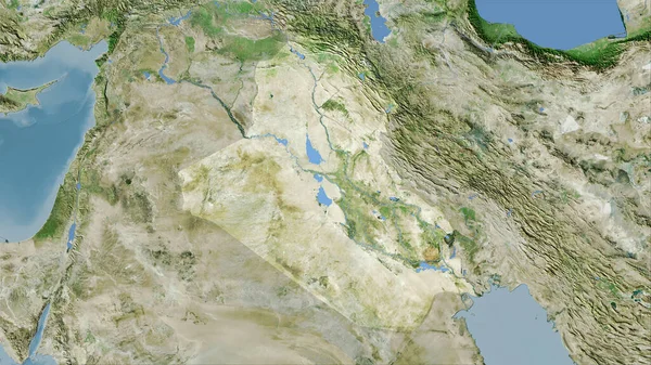
Stock image Syria and Iraq, satellite view, map, 3d rendering, land, middle east.
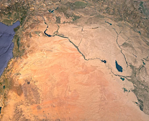
Published: Aug.19, 2016 14:57:44
Author: vampy1
Views: 169
Downloads: 1
File type: image / jpg
File size: 10.53 MB
Orginal size: 4081 x 3333 px
Available sizes:
Level: silver
Similar stock images

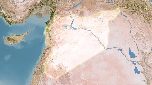
Jordan And Its Neighborhood. Distant Oblique Perspective - No Outline. Satellite Imagery
2880 × 1620

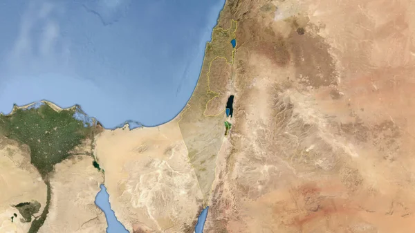
Israel And Its Neighborhood. Distant Oblique Perspective - No Outline. Satellite Imagery
2880 × 1620
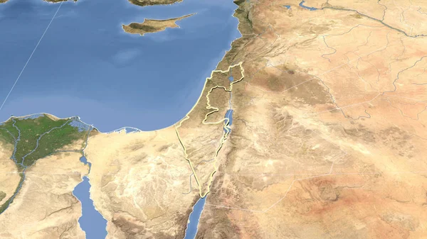
Israel And Its Neighborhood. Distant Oblique Perspective - Shape Outlined. Satellite Imagery
2880 × 1620