
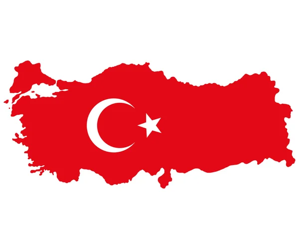
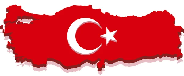
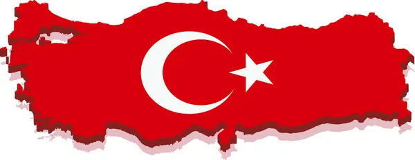
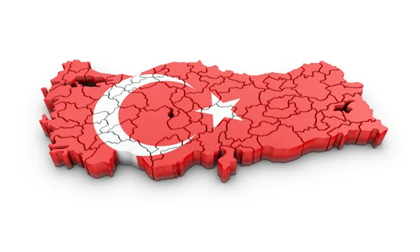
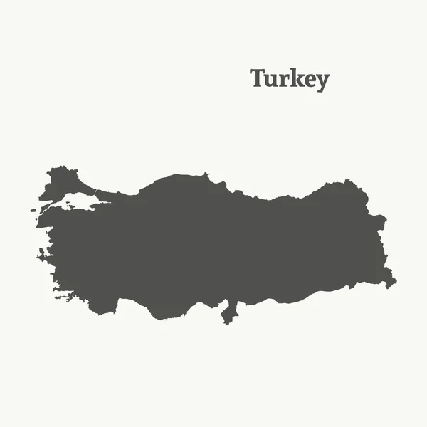
Stock image Physical Map Turkey

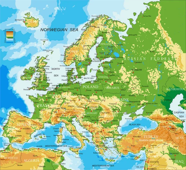
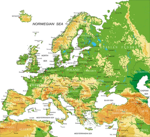
Highly Detailed Physical Map Of Europe,in Vector Format,with All The Relief Forms,countries And Big Cities.
Vector, 10.52MB, 5000 × 4573 eps

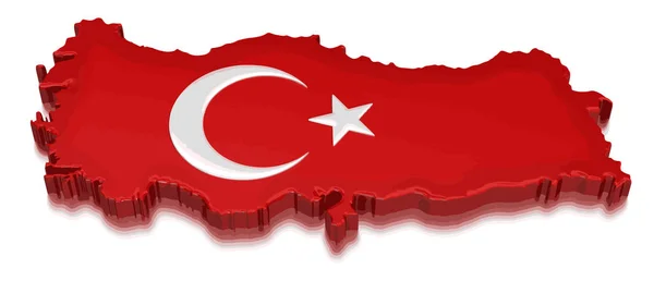
Map Of Turkey, View From Space With Embedded National Flag. Image Elements Courtesy Of NASA. 3D Illustration
Image, 16.04MB, 5887 × 3914 jpg
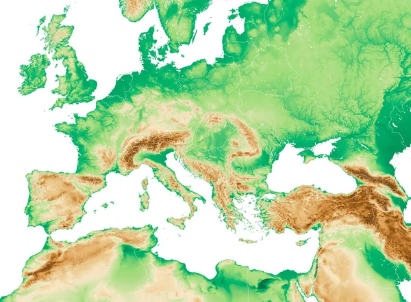
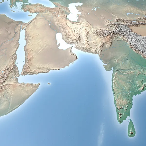
Physical Map Of Mediterranean And Central Europe, States And Borders, North Africa And The Middle East. Mountains, Lakes And Plains. 3d Render
Image, 8.76MB, 5679 × 4192 jpg

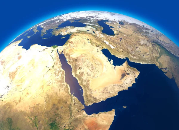
Physical Map Of The World, Satellite View Of The Middle East. Africa, Asia. Globe. Hemisphere. Reliefs And Oceans. 3d Rendering. Elements Of This Image Are Furnished By NASA
Image, 12.27MB, 5511 × 5511 jpg


Physical Map Of The World, Satellite View Of The Middle East. Africa, Asia. Reliefs And Oceans. Elements Of This Image Are Furnished By NASA
Image, 23.33MB, 4600 × 3919 jpg

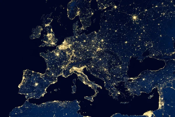
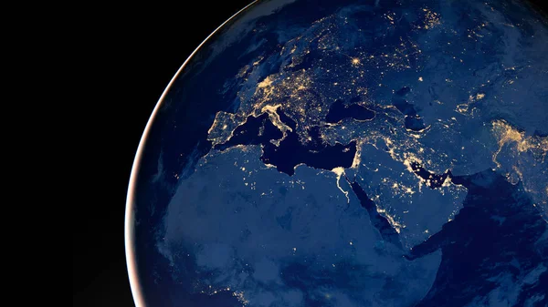
Earth At Night, View Of City Lights Showing Human Activity In Europe From Space. EU And Mediterranean On World Dark Map On Global Satellite Photo. Elements Of This Image Furnished By NASA.
Image, 15.83MB, 6468 × 4320 jpg

Turkey Zoomed And Circled. Main Physical Landscape Features. 3D Rendering
Image, 4.54MB, 2880 × 1620 jpg

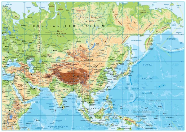
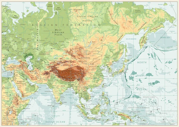
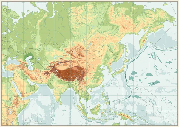
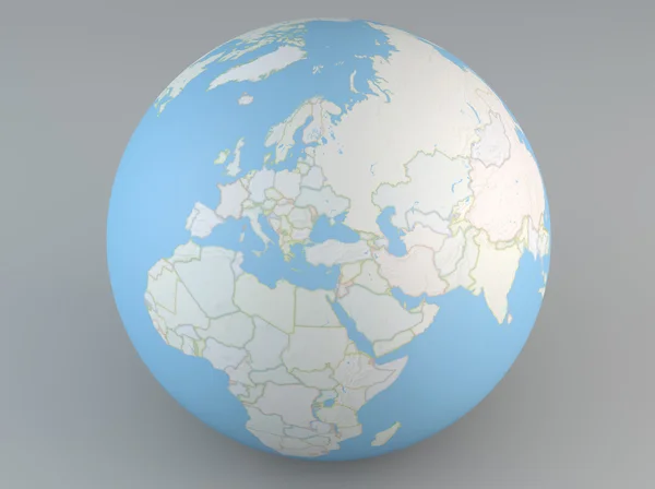
The Political Detailed Map Of The Continent Of Asia With Russia With Borders Of Countries
Vector, 12.45MB, 4000 × 4000 eps


Highly Detailed Physical Map Of Europe,in Vector Format,with All The Relief Forms,countries And Big Cities.
Vector, 10.05MB, 5000 × 4572 eps
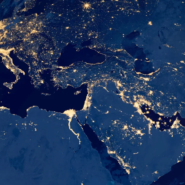
Earth Photo At Night, City Lights Of Europe, Middle East, Turkey, Italy, Black Sea, Mediterrenian Sea From Space, World Map On Dark Globe On Satellite Photo. Elements Of This Image Furnished By NASA.
Image, 5.34MB, 2419 × 2418 jpg

Earth Photo At Night, City Lights Of Europe, Middle East, Turkey, Italy, Black Sea, Mediterrenian Sea From Space, World Map On Dark Globe On Satellite HD Photo.Elements Of This Image Furnished By NASA
Image, 8.17MB, 4299 × 2418 jpg
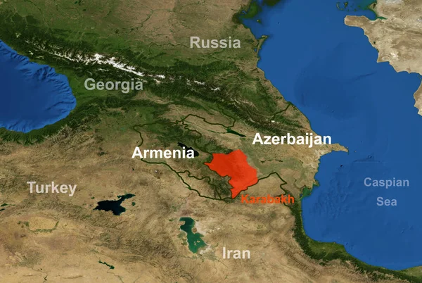
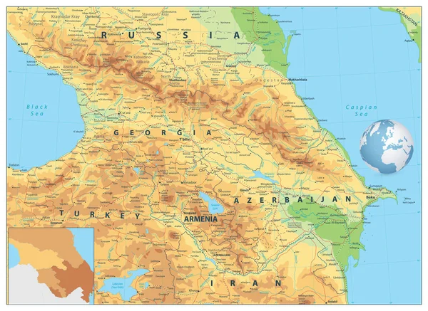
Armenia-Azerbaijan Conflict In Nagorno-Karabakh On Geographic Map. Elements Of This Image Furnished By NASA.
Image, 4.71MB, 3204 × 2148 jpg
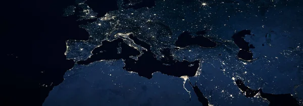
Europe, Mediterranean And Middle East With City Lights At Night, Panoramic View From Space. Detail Of World Dark Map In Global Satellite Photo. Elements Of This Image Furnished By NASA.
Image, 2.64MB, 3400 × 1197 jpg

The Political Detailed Map Of The Continent Of Asia With Russia With Borders Of Countries
Vector, 11.59MB, 4000 × 4000 eps
Earth Photo At Night, City Lights Of Europe, Middle East, Turkey, Italy, Black Sea, Mediterrenian Sea From Space, World Map Globe. Satellite HD Photo. Elements Of This Image Furnished By NASA.
Image, 5.59MB, 4299 × 2418 jpg

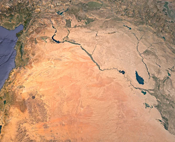
Syria And Iraq, Satellite View, Map, 3d Rendering, Land, Middle East.
Image, 10.53MB, 4081 × 3333 jpg
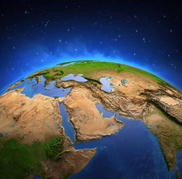
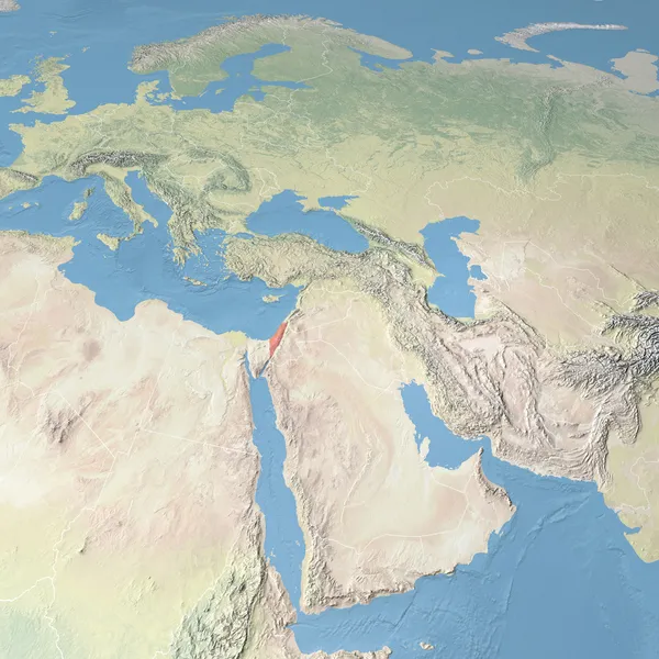
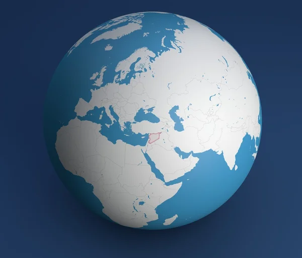
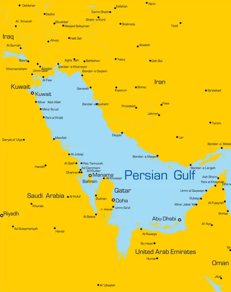
Surface Of Planet Earth Viewed From A Satellite, Focused On Middle East. Physical Map Of Persian Gulf. 3D Illustration - Elements Of This Image Furnished By NASA.
Image, 14.07MB, 7300 × 7173 jpg

Physical Map Of Mediterranean Region, With High Resolution Details. Flattened Satellite View Of Planet Earth And Its Topography. 3D Illustration - Elements Of This Image Furnished By NASA
Image, 15.26MB, 5500 × 2750 jpg
Physical Map Of The World, Satellite View Of The Middle East. Africa, Asia. Globe. Hemisphere. Reliefs And Oceans. 3d Rendering. Elements Of This Image Are Furnished By NASA
Image, 10.78MB, 5511 × 4000 jpg


Page 1 >> Next