photo free
Home Images Vectors Videos

Stock image Tagapul-an Island in the Philippine Sea, belonging to Philippines, isolated on a topographic, OSM Humanitarian style map, with distance scale

Stock image Tagapul-an Island in the Philippine Sea, belonging to Philippines, isolated on a topographic, OSM Humanitarian style map, with distance scale
Published: Sep.11, 2024 14:02:53
Author: zelwanka
Views: 0
Downloads: 0
File type: image / jpg
File size: 0.45 MB
Orginal size: 2160 x 2160 px
Available sizes:
S
(500 x 500)
M
(1000 x 1000)
L
(2000 x 2000)
XL
(2160 x 2160)
EL0
(2160 x 2160)
Level: beginner
Download Image
Image topics:

Similar stock images

stock image Shape of Dnipropetrovs'k, region of Ukraine, with its capital isolated on white background. Bilevel elevation map. 3D rendering

Shape Of Dnipropetrovs'k, Region Of Ukraine, With Its Capital Isolated On White Background. Bilevel Elevation Map. 3D Rendering

3836 × 2625
stock image Shape of a topographic, OSM standard style map of the Laos, with distance scale and map border coordinates, isolated on white

Shape Of A Topographic, OSM Standard Style Map Of The Laos, With Distance Scale And Map Border Coordinates, Isolated On White

1970 × 2283
stock image Shape of Nitriansky, region of Slovakia, with its capital isolated on a solid color background. Satellite imagery. 3D rendering

Shape Of Nitriansky, Region Of Slovakia, With Its Capital Isolated On A Solid Color Background. Satellite Imagery. 3D Rendering

3587 × 3836
stock image Shape of a topographic, OSM France style map of the Eswatini, with distance scale and map border coordinates, isolated on black

Shape Of A Topographic, OSM France Style Map Of The Eswatini, With Distance Scale And Map Border Coordinates, Isolated On Black

1885 × 2386
stock image Shape of a topographic, OSM standard style map of the Mauritius, with distance scale and map border coordinates, isolated on white

Shape Of A Topographic, OSM Standard Style Map Of The Mauritius, With Distance Scale And Map Border Coordinates, Isolated On White

1992 × 2257
stock image Shape of Amazonas, commissiary of Colombia, with its capital isolated on white background. Bilevel elevation map. 3D rendering

Shape Of Amazonas, Commissiary Of Colombia, With Its Capital Isolated On White Background. Bilevel Elevation Map. 3D Rendering

3836 × 3360
stock image Meath, county of Ireland. Sentinel-2 satellite imagery. Shape isolated on solid background with informative overlays. Contains modified Copernicus Sentinel data

Meath, County Of Ireland. Sentinel-2 Satellite Imagery. Shape Isolated On Solid Background With Informative Overlays. Contains Modified Copernicus Sentinel Data

3500 × 2856
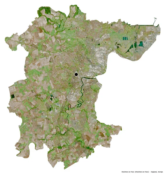
stock image Shape of Stockton-on-Tees, unitary authority of England, with its capital isolated on white background. Satellite imagery. 3D rendering

Shape Of Stockton-on-Tees, Unitary Authority Of England, With Its Capital Isolated On White Background. Satellite Imagery. 3D Rendering

3617 × 3836