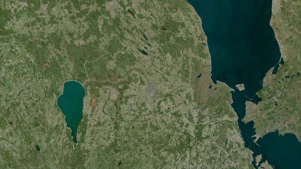
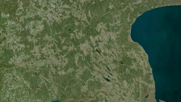
Stock image Tartu, county of Estonia. Satellite imagery. Shape outlined against its country area. 3D rendering
Published: Sep.16, 2020 07:48:04
Author: Yarr65
Views: 1
Downloads: 0
File type: image / jpg
File size: 6.73 MB
Orginal size: 2880 x 1620 px
Available sizes:
Level: bronze
Similar stock images
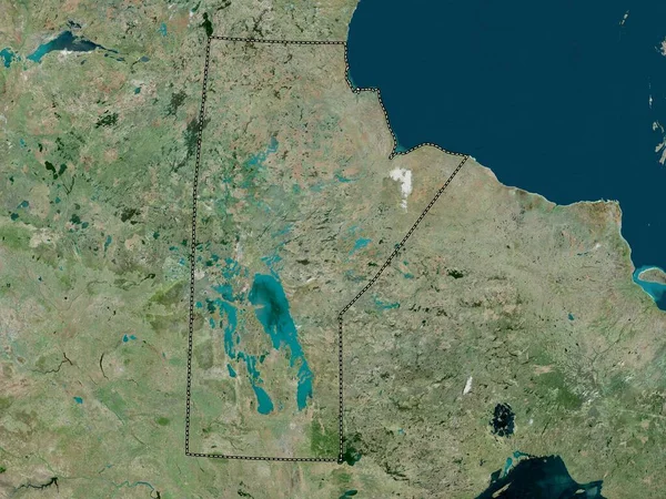
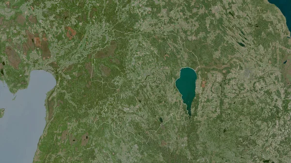
Jogeva , County Of Estonia. Satellite Imagery. Shape Outlined Against Its Country Area. 3D Rendering
2880 × 1620
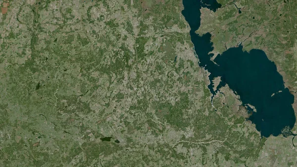
Polva , County Of Estonia. Satellite Imagery. Shape Outlined Against Its Country Area. 3D Rendering
2880 × 1620
Viljandi, County Of Estonia. Satellite Imagery. Shape Outlined Against Its Country Area. 3D Rendering
2880 × 1620
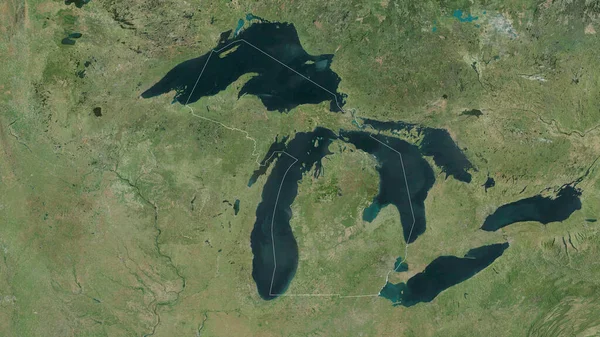
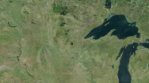
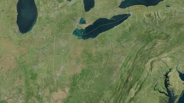
Michigan, State Of United States. Satellite Imagery. Shape Outlined Against Its Country Area. 3D Rendering
2880 × 1620
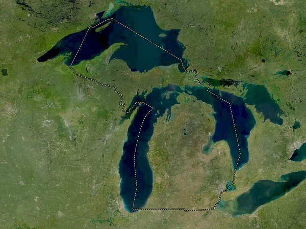
Ohio, State Of United States. Satellite Imagery. Shape Outlined Against Its Country Area. 3D Rendering
2880 × 1620