Home
Images
Vectors
Videos
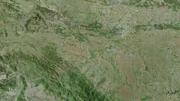
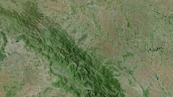
Stock image Ternopil', region of Ukraine. Satellite imagery. Shape outlined against its country area. 3D rendering
Published:
Sep.16, 2020 07:03:11
Author:
Yarr65
Views:
0
Downloads:
0
File type:
image
/
jpg
File size:
7.62 MB
Orginal size:
2880
x
1620
px
Available sizes:
S
(500 x 281)
M
(1000 x 563)
L
(2000 x 1125)
XL
(2880 x 1620)
EL0
(2880 x 1620)
Level:
bronze
Download Image
Image topics:
View
Shape
Travel
Nature
Border
Landscape
Glow
Contour
Scale
Earth
Planet
World
Ocean
Ukraine
Science
Capital
Europe
Profile
Outline
Country
Map
Cartography
Geography
Continent
Land
Zoom
Satellite
Kiev
Region
Territory
Outlined
Atlas
Legend
Overlay
Ternopil
3d Rendering
Ukr
Ternopol
Subregion
Administrative Division
Similar stock images
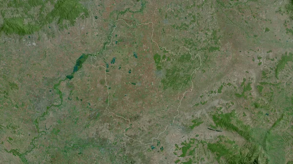
Satu Mare, County Of Romania. Satellite Imagery. Shape Outlined Against Its Country Area. 3D Rendering
2880 × 1620
Ivano-Frankivs'k, Region Of Ukraine. Satellite Imagery. Shape Outlined Against Its Country Area. 3D Rendering
2880 × 1620
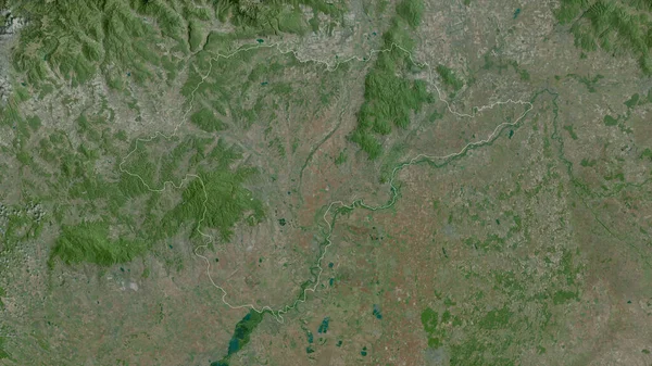
Nograd , County Of Hungary. Satellite Imagery. Shape Outlined Against Its Country Area. 3D Rendering
2880 × 1620
L'viv, Region Of Ukraine. Satellite Imagery. Shape Outlined Against Its Country Area. 3D Rendering
2880 × 1620
Olomoucky , Region Of Czech Republic. Satellite Imagery. Shape Outlined Against Its Country Area. 3D Rendering
2880 × 1620
Haute-Kotto, Prefecture Of Central African Republic. Satellite Imagery. Shape Outlined Against Its Country Area. 3D Rendering
2880 × 1620
Borsod-Abaj-Zemplen , County Of Hungary. Satellite Imagery. Shape Outlined Against Its Country Area. 3D Rendering
2880 × 1620
Hajdu-Bihar, County Of Hungary. Satellite Imagery. Shape Outlined Against Its Country Area. 3D Rendering
2880 × 1620