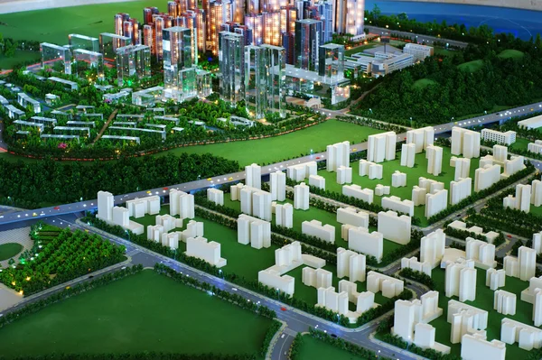
Stock image The remote sensing information model of geography is based on topographical model, physical model, and mathematical model.
Published: Jan.12, 2011 14:36:17
Author: tang9555
Views: 285
Downloads: 2
File type: image / jpg
File size: 7.62 MB
Orginal size: 4592 x 3056 px
Available sizes:
Level: beginner