Home
Images
Vectors
Videos
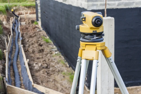
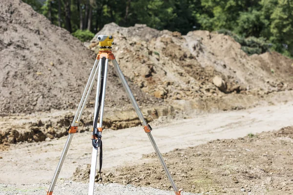
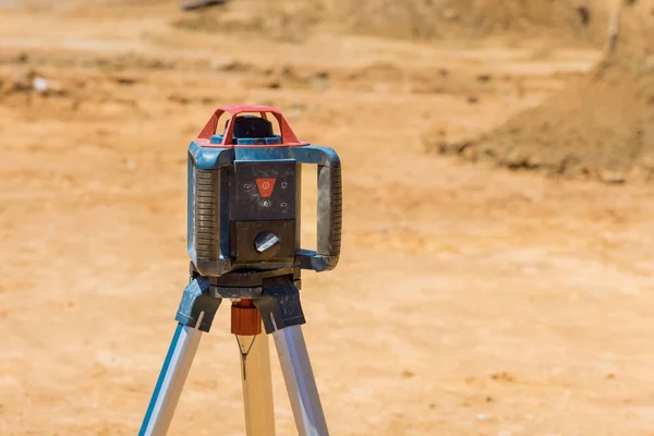
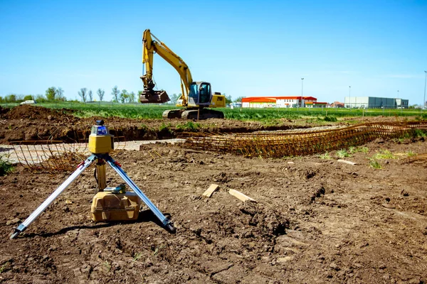
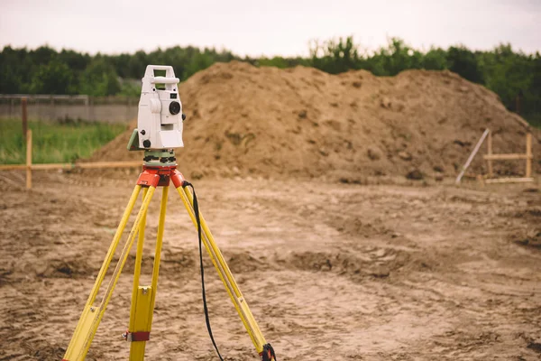
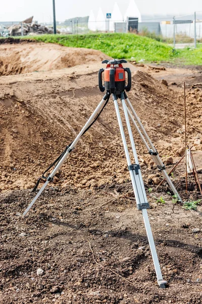
Stock image Theodolite laser device on tripod that measure distance and angles on the ground, is necessary for the construction of roads and buildings
Published:
Dec.10, 2021 14:09:52
Author:
frantic00
Views:
2
Downloads:
0
File type:
image
/
jpg
File size:
19.65 MB
Orginal size:
4160
x
6240
px
Available sizes:
S
(333 x 500)
M
(667 x 1000)
L
(1333 x 2000)
XL
(4160 x 6240)
EL0
(4160 x 6240)
Level:
silver
Download Image
Image topics:
Object
Horizontal
Closeup
Equipment
Outdoor
Technology
Road
Instrument
Accuracy
Building
Construction
Industry
Device
Development
Professional
Measurement
Work
Tool
Optical
Highway
Point
System
Precision
Angle
Engineering
Site
Cartography
Geography
Land
Ground
Station
Level
Meter
Workplace
Distance
Topography
Laser
Tripod
Total
Monitoring
Positioning
Checking
Surveyor
Inspection
Roadwork
Mensuration
Surveying
Geodesy
Theodolite
Triangulation
Similar stock images
Surveyor Equipment Optical Level At Construction Site
4752 × 3168
Level Surveying On Construction Site. Survey Measuring Level Tool For Level Setting. Leveling Earth Works.
5402 × 3601
Construction Site Contractors Use Laser A Trench For A Concrete Foundation Construction Measuring Equipment To Measure Level
5211 × 3475
Prepared And Working On House Construction With Engineering Materials.
5616 × 3744
Modern Device Makes Topographic Measurements With Laser, Total C
5184 × 3456
Surveyor Equipment GPS System Or Theodolite Outdoors At Highway Construction Site.Measuring Instrument Close-up. Surveyor Engineering With Total Station
5377 × 3585
Surveyor Equipment - GPS System Or Theodolite Total Positioning System Outdoors At House Construction Site. Surveyor Engineering With Total Station Before House Building
5834 × 3895
Surveyor Equipment GPS System Or Theodolite Outdoors At Highway
3552 × 5328