Home
Images
Vectors
Videos
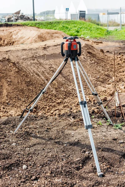
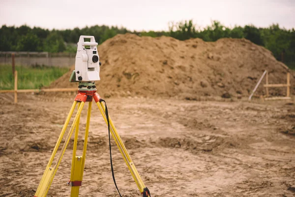
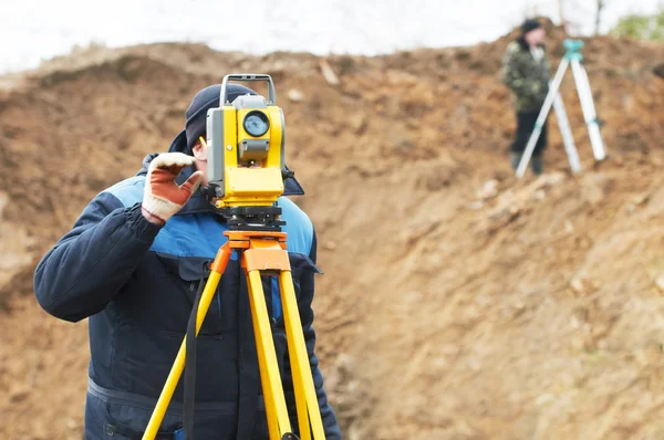
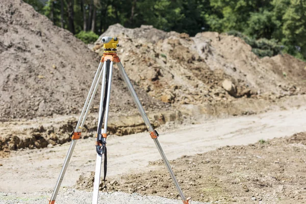
Stock image Level surveying on construction site. Survey measuring level tool for level setting. Leveling earth works.
Published:
Jul.11, 2022 07:35:01
Author:
Serdynska
Views:
2
Downloads:
0
File type:
image
/
jpg
File size:
9.41 MB
Orginal size:
5402
x
3601
px
Available sizes:
S
(500 x 333)
M
(1000 x 667)
L
(2000 x 1333)
XL
(5402 x 3601)
EL0
(5402 x 3601)
Level:
beginner
Download Image
Image topics:
Green
Equipment
Park
Outdoor
Industrial
Technology
Road
Instrument
Construction
Industry
Urban
Device
Measuring
Measure
Measurement
Work
Tool
Earth
Build
Sand
Angle
Engineering
Site
Land
Ground
Level
Control
Survey
Pathway
Checking
Surveyor
Roadwork
Landscaping
Geodesic
Levelling
Surveying
Geodetic
Theodolite
Earthworks
Construction Site
Construction Industry
Level Crossing
Road Works
Level Tool
Engineering Equipment
Geodetic Device
Surveying Land
Total Positioning Station
Similar stock images
Theodolite Laser Device On Tripod That Measure Distance And Angles On The Ground, Is Necessary For The Construction Of Roads And Buildings
4160 × 6240
Theodolite At Construction Site
5616 × 3744
A Construction Site Among Trees With A Trench In The Sandy Ground With A Blue Plastic Pipe And A Theodolite In The Foreground
4558 × 3019
Digital Level On Tripod With Sand Mounds On Background
7360 × 4912
Surveyor Equipment - GPS System Or Theodolite Total Positioning System Outdoors At House Construction Site. Surveyor Engineering With Total Station Before House Building
5834 × 3895
Surveyor Works With Total Station Tacheometer
4288 × 2848
Laser Level Measurement Tool
3540 × 2000
Surveyor Equipment GPS System Or Theodolite Outdoors At Highway Construction Site.Measuring Instrument Close-up. Surveyor Engineering With Total Station
5377 × 3585