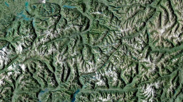
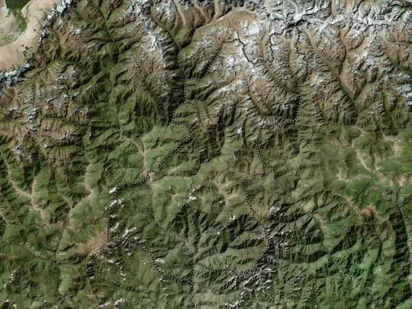
Stock image Ticino, canton of Switzerland. Satellite imagery. Shape outlined against its country area. 3D rendering
Published: Sep.16, 2020 09:43:35
Author: Yarr65
Views: 2
Downloads: 0
File type: image / jpg
File size: 7.65 MB
Orginal size: 2880 x 1620 px
Available sizes:
Level: bronze
Similar stock images
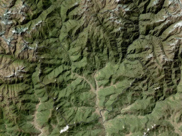
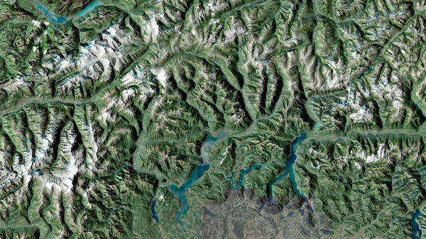
Uri, Canton Of Switzerland. Satellite Imagery. Shape Outlined Against Its Country Area. 3D Rendering
2880 × 1620
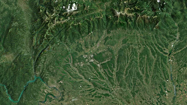
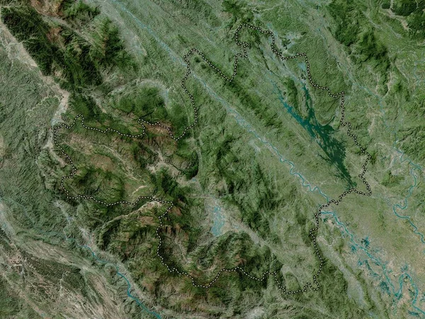
Gorj, County Of Romania. Satellite Imagery. Shape Outlined Against Its Country Area. 3D Rendering
2880 × 1620

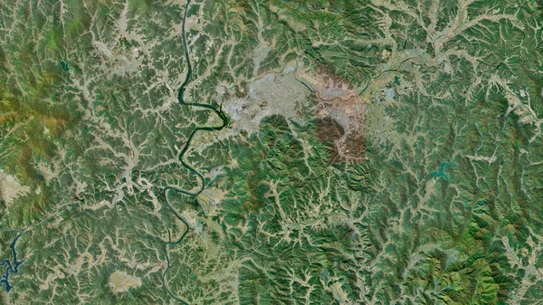
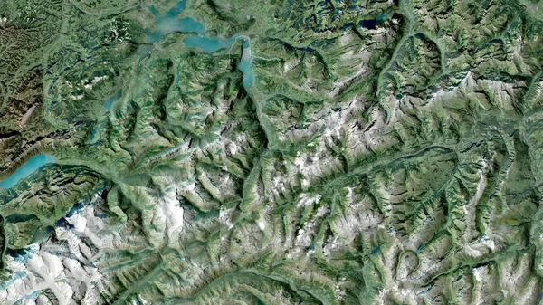
Valais, Canton Of Switzerland. Satellite Imagery. Shape Outlined Against Its Country Area. 3D Rendering
2880 × 1620