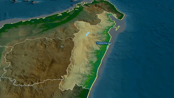
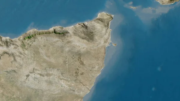
Stock image Toamasina - autonomous province of Madagascar zoomed and highlighted. Main physical landscape features. 3D rendering

Published: Aug.05, 2020 14:58:28
Author: Yarr65
Views: 0
Downloads: 0
File type: image / jpg
File size: 3.59 MB
Orginal size: 2880 x 1620 px
Available sizes:
Level: bronze
Similar stock images


Nampula - Province Of Mozambique Zoomed And Highlighted. Main Physical Landscape Features. 3D Rendering
2880 × 1620
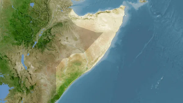
Bari, Region Of Somalia. Satellite Imagery. Shape Outlined Against Its Country Area. 3D Rendering
2880 × 1620