Home
Images
Vectors
Videos
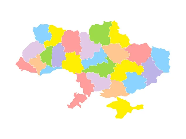
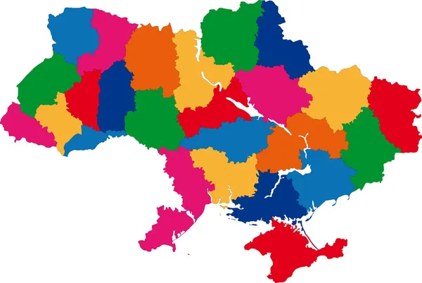
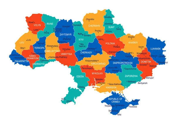
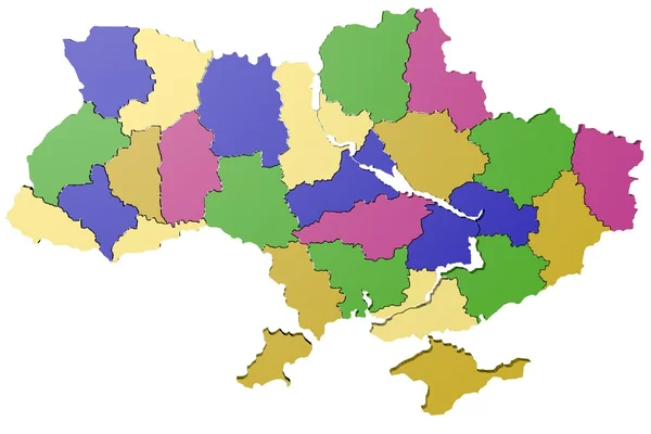
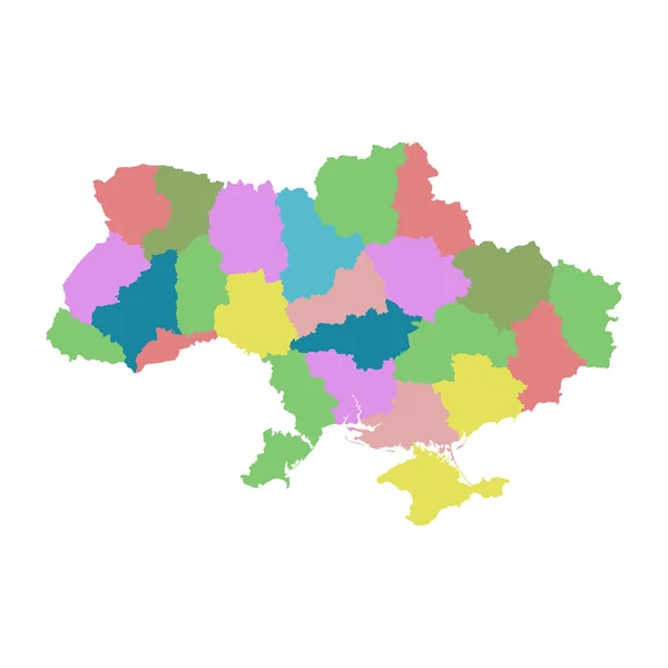
Stock image Ukraine map, administrative division, separate regions, color map isolated on white background blank
Published:
Apr.13, 2021 07:21:24
Author:
Mondi.h
Views:
16
Downloads:
0
File type:
image
/
jpg
File size:
1.22 MB
Orginal size:
5328
x
4000
px
Available sizes:
S
(500 x 375)
M
(1000 x 751)
L
(2000 x 1502)
XL
(5328 x 4000)
EL0
(5328 x 4000)
Level:
bronze
Download Image
Image topics:
Green
Color
Colors
Blue
Background
Colorful
Graphic
Colored
Illustration
Design
Isolated
Travel
European
Silhouette
Blank
Contour
Earth
World
Crimea
Tourism
Ukraine
Europe
Raster
Individual
Outline
Country
Map
Cartography
Geography
Continent
State
Separate
Political
Region
Kyiv
Territory
Atlas
Ukrainian
Province
Mapping
Sevastopol
Names
Regions
White Background
Isolated On White
European Union
Ukraine Map
Wall Map
Administrative Division
Individual Regions
Similar stock images
Ukraine Color Map. Ukrainian Border Territory Separated On Colorful Regions. Vector Illustration Isolated On White.
5120 × 3840
Administrative Divisions Of Ukraine
6002 × 4026
Ukraine Map - High Detailed Vector Illustration
7990 × 5654
Provinces Of Belgium. Map Of Regional Country Administrative Divisions. Colorful Vector Illustration
6000 × 6000
Kazakhstan Map Colorful Country Icon
4521 × 4521
3D Model Of Ukraine
2400 × 1600
Ukraine With Regions On White Background. Flat Vector
7000 × 7000
Colorful Vector Map Of Poland
4000 × 4000