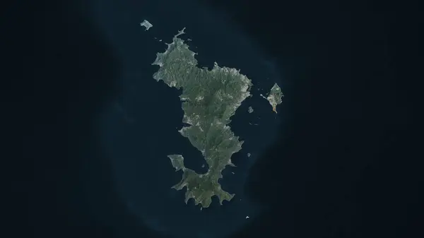
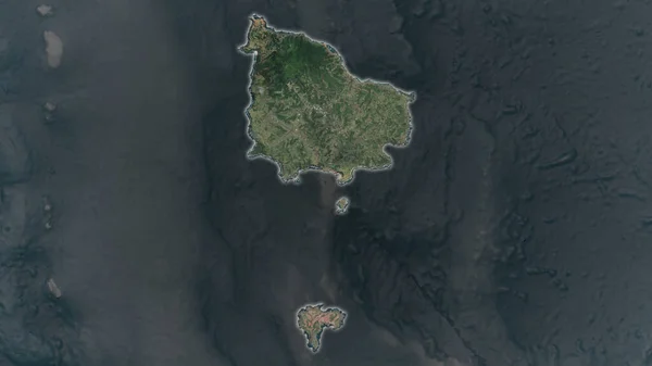
Stock image Unalga Island in the Bering Sea on a satellite image taken in September 11, 2020

Published: Sep.11, 2024 14:55:43
Author: zelwanka
Views: 0
Downloads: 0
File type: image / jpg
File size: 4.72 MB
Orginal size: 2880 x 1620 px
Available sizes:
Level: beginner
Similar stock images

Norfolk Island Area Enlarged And Glowed On A Darkened Background Of Its Surroundings. Satellite Imagery
3840 × 2160