Home
Images
Vectors
Videos
Stock image Velanai Island in the Bay of Bengal on a colored elevation map
Published:
Sep.11, 2024 15:33:49
Author:
zelwanka
Views:
0
Downloads:
0
File type:
image
/
jpg
File size:
0.92 MB
Orginal size:
2880
x
1620
px
Available sizes:
S
(500 x 281)
M
(1000 x 563)
L
(2000 x 1125)
XL
(2880 x 1620)
EL0
(2880 x 1620)
Level:
beginner
Download Image
Image topics:
Colored
Shape
Nature
Border
Physical
Contour
Earth
Planet
World
Ocean
Science
Elevation
Outline
Country
Map
Geography
Continent
Land
Zoom
Asia
Island
Region
Territory
Atlas
Stereographic
Sri Lanka
Bay Of Bengal
Lka
Velanai Island
Similar stock images
France On Political Earth Model
5000 × 3750
Saare, County Of Estonia. Colored Shader Data With Lakes And Rivers. Shape Outlined Against Its Country Area. 3D Rendering
2880 × 1620
Germany On Earth In Red
5000 × 3750
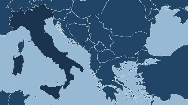
Greece Area On The Solid Map In The Stereographic Projection - Raw Composition Of Raster Layers
2880 × 1620
Italy. Close-up Perspective Of The Country - No Outline. Shapes Only - Land/ocean Mask
2880 × 1620
Close-up Of The Albania Border Area On A Topographic Map. Capital Point. Outline Around The Country Shape.
3840 × 2160
Abstract Color Painting Background. Ink Pattern Illustration. Contemporary And Modern Texture. Creative And Artistic Wallpaper. Artistic Wall With Brushed Shapes Design. Urban Grunge.
3200 × 4200
Macedonia And Its Neighborhood. Distant Oblique Perspective - No Outline. Satellite Imagery
2880 × 1620