Home
Images
Vectors
Videos
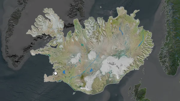
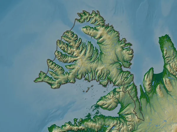
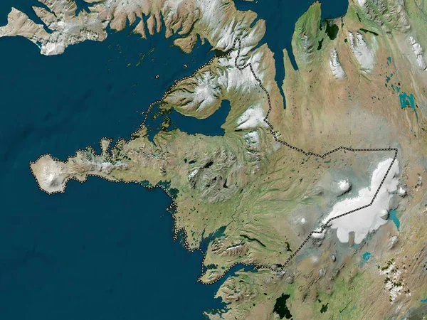
Stock image Vesturland - region of Iceland zoomed and highlighted. Satellite imagery. 3D rendering
Published:
Aug.04, 2020 13:30:25
Author:
Yarr65
Views:
3
Downloads:
0
File type:
image
/
jpg
File size:
3.14 MB
Orginal size:
2880
x
1620
px
Available sizes:
S
(500 x 281)
M
(1000 x 563)
L
(2000 x 1125)
XL
(2880 x 1620)
EL0
(2880 x 1620)
Level:
bronze
Download Image
Image topics:
View
Shape
Travel
Nature
Sea
Border
Landscape
Glow
Earth
Planet
World
Ocean
Science
Capital
Europe
Globe
Profile
Outline
Country
West
Map
Cartography
Geography
Continent
Land
Zoom
Satellite
Region
Territory
Atlas
Highlighted
Overlay
Iceland
Reykjavik
Isl
Westland
Borgarnes
3d Rendering
Vesturland
Subregion
Administrative Division
Similar stock images
Zoom In On Vesturland (region Of Iceland) Outlined. Oblique Perspective. Satellite Imagery. 3D Rendering
3840 × 2160
Vestfirir - Region Of Iceland Zoomed And Highlighted. Satellite Imagery. 3D Rendering.
2880 × 1620
Vesturland, Region Of Iceland. High Resolution Satellite Map
3840 × 2880
Hlshreppur, Region Of Iceland. Satellite Imagery. Shape Outlined Against Its Country Area. 3D Rendering.
2880 × 1620
Zoom In On Vesturland (region Of Iceland) Extruded. Oblique Perspective. Satellite Imagery. 3D Rendering
3840 × 2160
The Highlighted Area Of Iceland With Capital Point On The Desaturated Map Of Its Neighbourhood. Satellite Imagery
2880 × 1620
Vestfirir, Region Of Iceland. Colored Elevation Map With Lakes And Rivers
3840 × 2880
Hlshreppur, Region Of Iceland. Colored Shader Data With Lakes And Rivers. Shape Outlined Against Its Country Area. 3D Rendering.
2880 × 1620