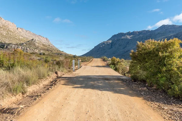
Stock image Water level indicators at Uitskietdrif in Tonteldoekkloof on the Algeria to Dwarsrivier road in the Cederberg Mountains in the Western Cape of South Africa
Published: Dec.04, 2018 09:06:26
Author: dpreezg
Views: 0
Downloads: 0
File type: image / jpg
File size: 7.65 MB
Orginal size: 3594 x 2400 px
Available sizes:
Level: bronze
Similar stock images

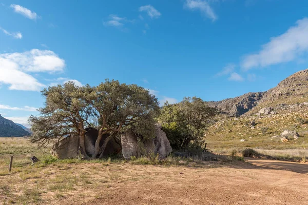
Malkop Se Kraal In The Uitkyk Pass In The Cederberg Mountains In The Western Cape Of South Africa
3595 × 2400