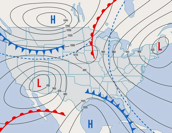
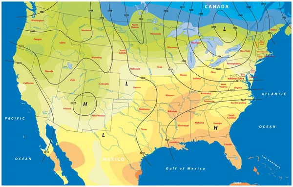
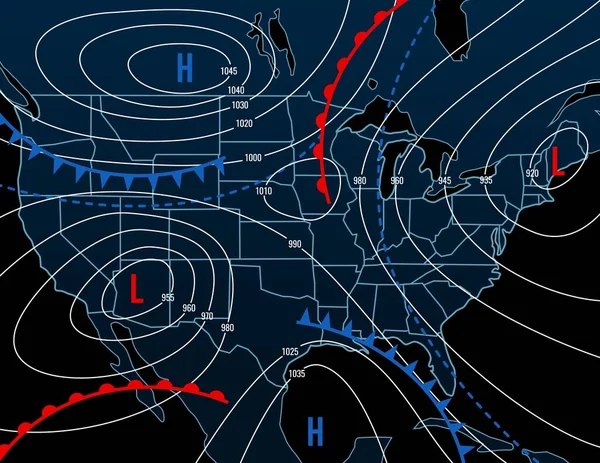
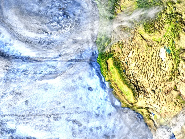
Stock image Weather Map of North America
Published: Apr.24, 2012 17:25:51
Author: oconner
Views: 1336
Downloads: 110
File type: image / jpg
File size: 6.52 MB
Orginal size: 5000 x 3500 px
Available sizes:
Level: bronze