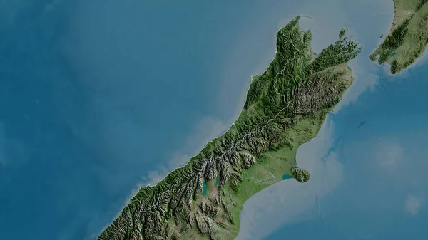
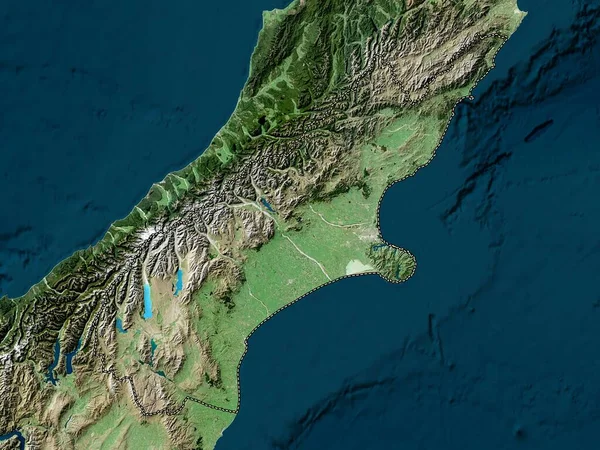
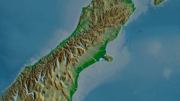
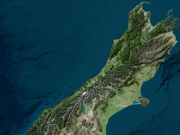
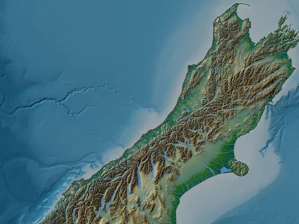
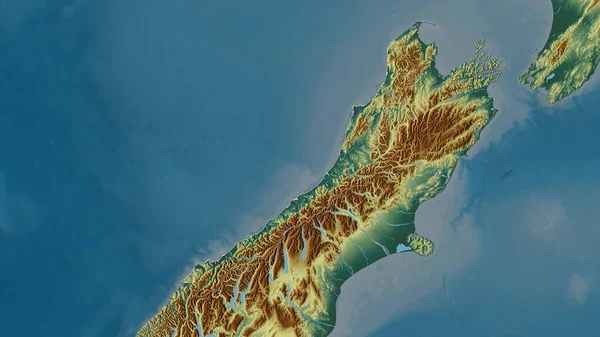
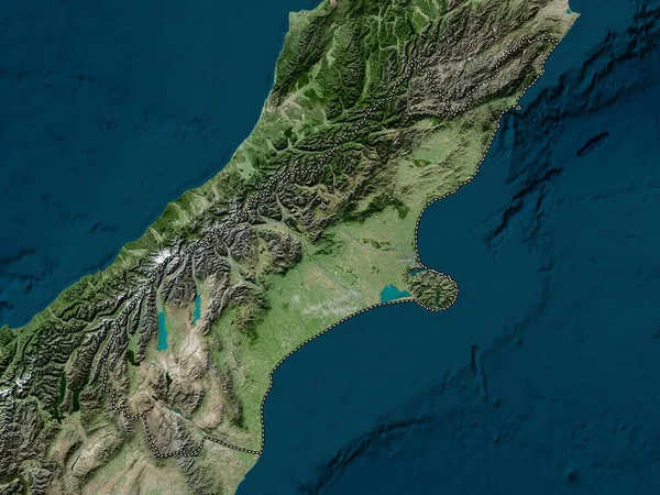
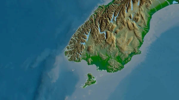
Stock image West Coast, regional council of New Zealand. Colored shader data with lakes and rivers. Shape outlined against its country area. 3D rendering

Published: Aug.05, 2020 20:10:55
Author: Yarr65
Views: 2
Downloads: 0
File type: image / jpg
File size: 3.2 MB
Orginal size: 2880 x 1620 px
Available sizes:
Level: bronze