
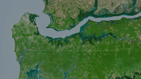
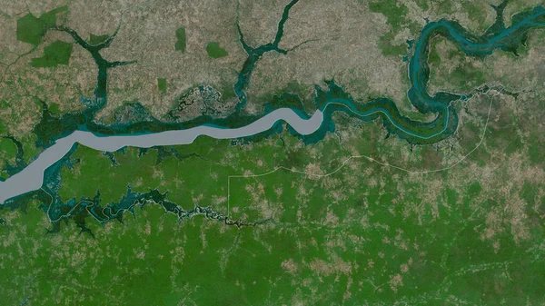
Stock image Western, division of Gambia. Satellite imagery. Shape outlined against its country area. 3D rendering
Published: Aug.18, 2020 11:17:54
Author: Yarr65
Views: 0
Downloads: 0
File type: image / jpg
File size: 5.99 MB
Orginal size: 2880 x 1620 px
Available sizes:
Level: bronze
Similar stock images
Oio, Region Of Guinea-Bissau. Satellite Imagery. Shape Outlined Against Its Country Area. 3D Rendering
2880 × 1620
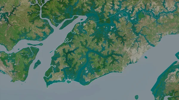
Biombo, Region Of Guinea-Bissau. Satellite Imagery. Shape Outlined Against Its Country Area. 3D Rendering
2880 × 1620
Quinara, Region Of Guinea-Bissau. Satellite Imagery. Shape Outlined Against Its Country Area. 3D Rendering
2880 × 1620

Ninh Binh , Province Of Vietnam. Satellite Imagery. Shape Outlined Against Its Country Area. 3D Rendering
2880 × 1620

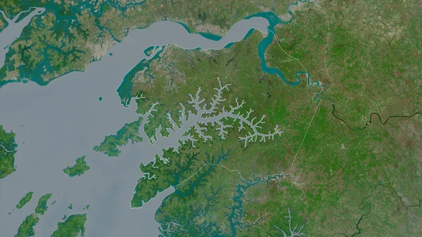
Cacheu, Region Of Guinea-Bissau. Satellite Imagery. Shape Outlined Against Its Country Area. 3D Rendering
2880 × 1620
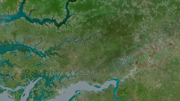
Lower River, Division Of Gambia. Satellite Imagery. Shape Outlined Against Its Country Area. 3D Rendering
2880 × 1620

