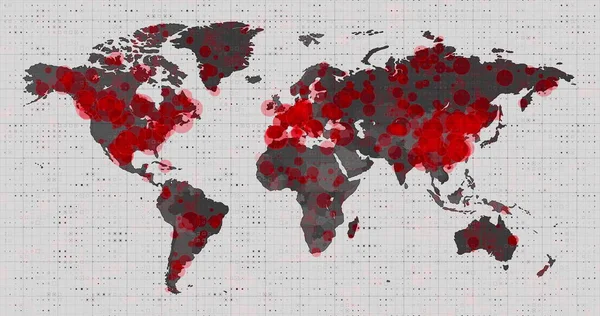
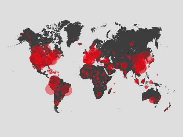
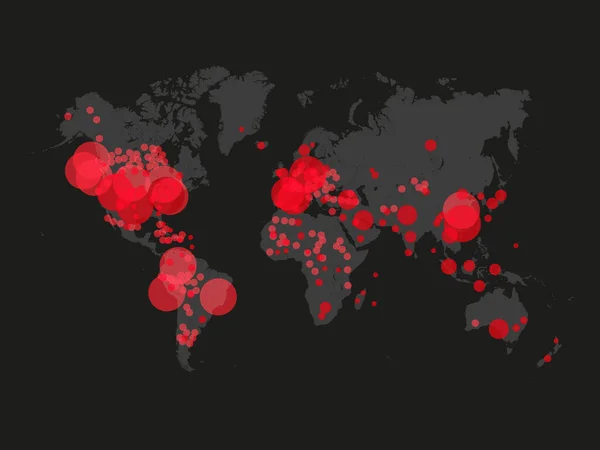
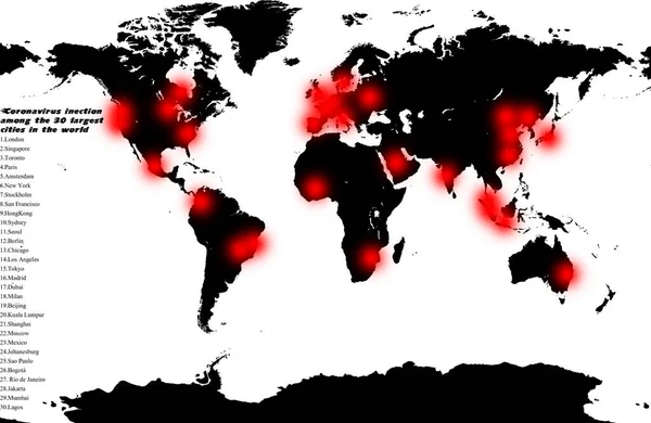
Stock image World attack coronavirus. Global coronavirus infection among the largest cities in the world. Map tracking the spread of the Outbreak in the world. Forecast or prediction of Cornavirus spreading in the world map.
Published: Mar.16, 2020 11:00:19
Author: worledit
Views: 14
Downloads: 1
File type: image / jpg
File size: 0.99 MB
Orginal size: 3515 x 2291 px
Available sizes:
Level: beginner