photo free
Home Images Vectors Videos

Stock image Xaignabouri, province of Laos. Satellite imagery. Shape presented against its country area with informative overlays. 3D rendering
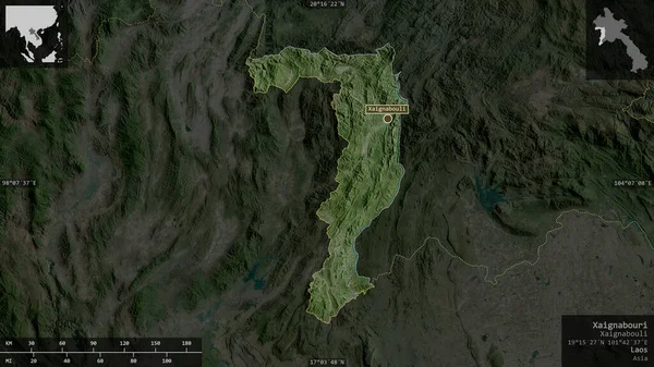
Stock image Xaignabouri, province of Laos. Satellite imagery. Shape presented against its country area with informative overlays. 3D rendering
Published: Aug.26, 2020 14:11:08
Author: Yarr65
Views: 0
Downloads: 0
File type: image / jpg
File size: 5.81 MB
Orginal size: 2880 x 1620 px
Available sizes:
S
(500 x 281)
M
(1000 x 563)
L
(2000 x 1125)
XL
(2880 x 1620)
EL0
(2880 x 1620)
Level: bronze
Download Image
Image topics:

Similar stock images

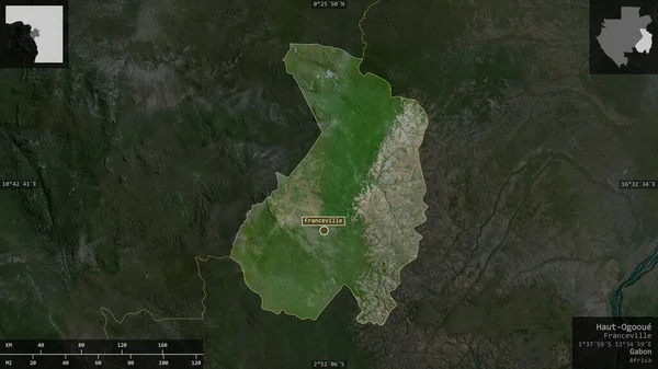
stock image Haut-Ogooue , province of Gabon. Satellite imagery. Shape presented against its country area with informative overlays. 3D rendering

Haut-Ogooue , Province Of Gabon. Satellite Imagery. Shape Presented Against Its Country Area With Informative Overlays. 3D Rendering

2880 × 1620
stock image Thai Nguyen, province of Vietnam. Satellite imagery. Shape presented against its country area with informative overlays. 3D rendering

Thai Nguyen, Province Of Vietnam. Satellite Imagery. Shape Presented Against Its Country Area With Informative Overlays. 3D Rendering

2880 × 1620
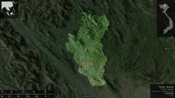
stock image Tuyen Quang, province of Vietnam. Satellite imagery. Shape presented against its country area with informative overlays. 3D rendering

Tuyen Quang, Province Of Vietnam. Satellite Imagery. Shape Presented Against Its Country Area With Informative Overlays. 3D Rendering

2880 × 1620
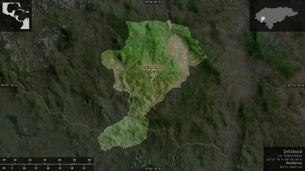
stock image Intibuca , department of Honduras. Satellite imagery. Shape presented against its country area with informative overlays. 3D rendering

Intibuca , Department Of Honduras. Satellite Imagery. Shape Presented Against Its Country Area With Informative Overlays. 3D Rendering

2880 × 1620
stock image Bulgan, province of Mongolia. Satellite imagery. Shape presented against its country area with informative overlays. 3D rendering

Bulgan, Province Of Mongolia. Satellite Imagery. Shape Presented Against Its Country Area With Informative Overlays. 3D Rendering

2880 × 1620
stock image Transcarpathia, region of Ukraine. Satellite imagery. Shape presented against its country area with informative overlays. 3D rendering

Transcarpathia, Region Of Ukraine. Satellite Imagery. Shape Presented Against Its Country Area With Informative Overlays. 3D Rendering

2880 × 1620
stock image Vasilevo, municipality of Macedonia. Satellite imagery. Shape presented against its country area with informative overlays. 3D rendering

Vasilevo, Municipality Of Macedonia. Satellite Imagery. Shape Presented Against Its Country Area With Informative Overlays. 3D Rendering

2880 × 1620
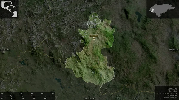
stock image Lempira, department of Honduras. Satellite imagery. Shape presented against its country area with informative overlays. 3D rendering

Lempira, Department Of Honduras. Satellite Imagery. Shape Presented Against Its Country Area With Informative Overlays. 3D Rendering

2880 × 1620