Home
Images
Vectors
Videos
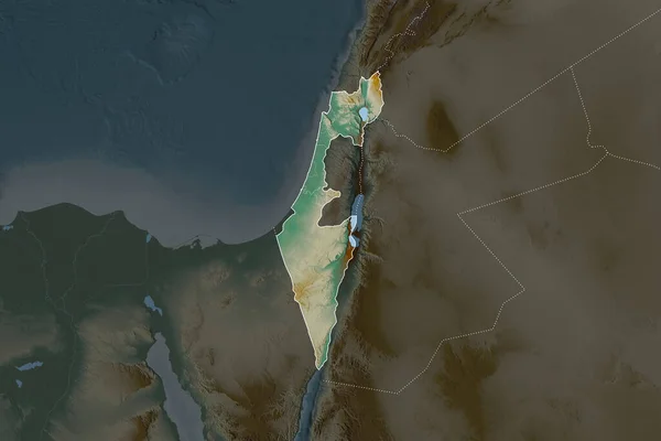
Stock image Zoom in on HaDarom (district of Israel) outlined. Oblique perspective. Topographic relief map with surface waters. 3D rendering
Published:
Aug.21, 2020 09:06:03
Author:
Yarr65
Views:
4
Downloads:
1
File type:
image
/
jpg
File size:
2.09 MB
Orginal size:
3840
x
2160
px
Available sizes:
S
(500 x 281)
M
(1000 x 563)
L
(2000 x 1125)
XL
(3840 x 2160)
EL0
(3840 x 2160)
Level:
bronze
Download Image
Image topics:
View
Shape
Travel
Nature
Sea
Border
Landscape
Earth
Planet
World
Ocean
Science
Relief
Capital
Globe
Profile
Country
District
Map
Cartography
Geography
Continent
Land
Zoom
Asia
Jerusalem
Israel
Region
Territory
Outlined
Atlas
Overlay
Isr
Beersheba
3d Rendering
Subregion
Hadarom
Southern District
Administrative Division
Similar stock images
Zoom In On HaDarom (district Of Israel) Extruded. Oblique Perspective. Topographic Relief Map With Surface Waters. 3D Rendering
3840 × 2160
Palestina Area On The Topographic Relief Map In The Stereographic Projection - Raw Composition Of Raster Layers With Light Glowing Outline
2880 × 1620
Jordan Outlined On The Relief Orthographic Map. Capital, Administrative Borders And Graticule
3840 × 2160
Palestina Area On The Topographic Relief Map In The Stereographic Projection - Raw Composition Of Raster Layers With Dark Glowing Outline
2880 × 1620
Lebanon Area On The Satellite C Map In The Stereographic Projection - Raw Composition Of Raster Layers With Light Glowing Outline
2880 × 1620
Lebanon Area On The Satellite B Map In The Stereographic Projection - Raw Composition Of Raster Layers
2880 × 1620
Shape Of Israel Separated By The Desaturation Of Neighboring Areas. Borders. Topographic Relief Map. 3D Rendering
3000 × 2000
Extended Area Of Israel With Country Outline, International And Regional Borders. Topographic Relief Map. 3D Rendering
3000 × 2000