photo free
Home Images Vectors Videos

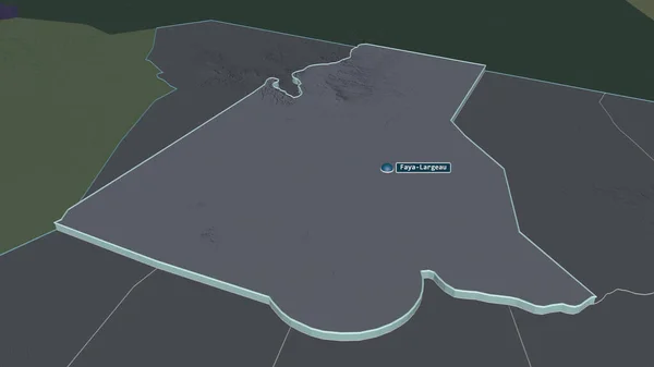
Stock image Zoom in on Kanem (region of Chad) extruded. Oblique perspective. Colored and bumped map of the administrative division with surface waters. 3D rendering
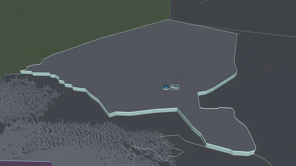
Stock image Zoom in on Kanem (region of Chad) extruded. Oblique perspective. Colored and bumped map of the administrative division with surface waters. 3D rendering
Published: Jul.07, 2020 14:32:54
Author: Yarr65
Views: 0
Downloads: 0
File type: image / jpg
File size: 0.99 MB
Orginal size: 3840 x 2160 px
Available sizes:
S
(500 x 281)
M
(1000 x 563)
L
(2000 x 1125)
XL
(3840 x 2160)
EL0
(3840 x 2160)
Level: bronze
Download Image
Image topics:

Similar stock images

stock image Zoom in on Tibesti (region of Chad) extruded. Oblique perspective. Colored and bumped map of the administrative division with surface waters. 3D rendering

Zoom In On Tibesti (region Of Chad) Extruded. Oblique Perspective. Colored And Bumped Map Of The Administrative Division With Surface Waters. 3D Rendering

3840 × 2160
stock image Zoom in on Barh el Ghazel (region of Chad) extruded. Oblique perspective. Colored and bumped map of the administrative division with surface waters. 3D rendering

Zoom In On Barh El Ghazel (region Of Chad) Extruded. Oblique Perspective. Colored And Bumped Map Of The Administrative Division With Surface Waters. 3D Rendering

3840 × 2160
stock image Zoom in on Galguduud (region of Somalia) extruded. Oblique perspective. Colored and bumped map of the administrative division with surface waters. 3D rendering

Zoom In On Galguduud (region Of Somalia) Extruded. Oblique Perspective. Colored And Bumped Map Of The Administrative Division With Surface Waters. 3D Rendering

3840 × 2160
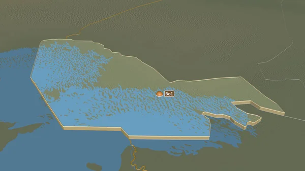
stock image Zoom in on Lac (region of Chad) extruded. Oblique perspective. Topographic relief map with surface waters. 3D rendering

Zoom In On Lac (region Of Chad) Extruded. Oblique Perspective. Topographic Relief Map With Surface Waters. 3D Rendering

3840 × 2160
stock image Zoom in on Kanem (region of Chad) outlined. Oblique perspective. Topographic relief map with surface waters. 3D rendering

Zoom In On Kanem (region Of Chad) Outlined. Oblique Perspective. Topographic Relief Map With Surface Waters. 3D Rendering

3840 × 2160
stock image Zoom in on An-Najaf (province of Iraq) extruded. Oblique perspective. Colored and bumped map of the administrative division with surface waters. 3D rendering

Zoom In On An-Najaf (province Of Iraq) Extruded. Oblique Perspective. Colored And Bumped Map Of The Administrative Division With Surface Waters. 3D Rendering

3840 × 2160
stock image Zoom in on Borkou (region of Chad) extruded. Oblique perspective. Colored and bumped map of the administrative division with surface waters. 3D rendering

Zoom In On Borkou (region Of Chad) Extruded. Oblique Perspective. Colored And Bumped Map Of The Administrative Division With Surface Waters. 3D Rendering

3840 × 2160
stock image Zoom in on Ennedi Ouest (region of Chad) extruded. Oblique perspective. Colored and bumped map of the administrative division with surface waters. 3D rendering

Zoom In On Ennedi Ouest (region Of Chad) Extruded. Oblique Perspective. Colored And Bumped Map Of The Administrative Division With Surface Waters. 3D Rendering

3840 × 2160