Home
Images
Vectors
Videos
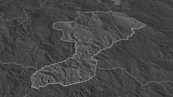
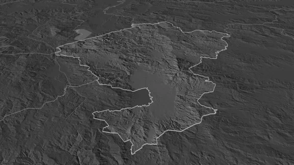
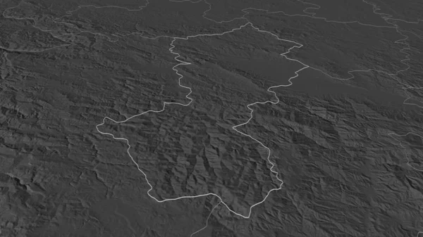
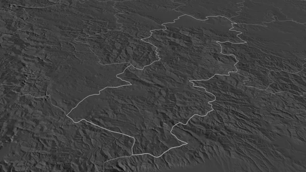
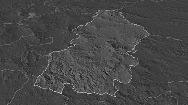
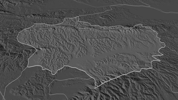
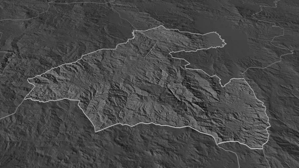
Stock image Zoom in on La Paz (department of Honduras) outlined. Oblique perspective. Bilevel elevation map with surface waters. 3D rendering
Published:
Aug.18, 2020 11:29:40
Author:
Yarr65
Views:
0
Downloads:
0
File type:
image
/
jpg
File size:
2.47 MB
Orginal size:
3840
x
2160
px
Available sizes:
S
(500 x 281)
M
(1000 x 563)
L
(2000 x 1125)
XL
(3840 x 2160)
EL0
(3840 x 2160)
Level:
bronze
Download Image
Image topics:
View
Shape
Travel
Nature
Sea
Border
Landscape
Earth
Planet
World
Ocean
Science
Capital
Globe
Profile
Country
Map
Cartography
Geography
Continent
Land
Zoom
Department
Region
Territory
Outlined
Atlas
Overlay
Honduras
Tegucigalpa
Hnd
3d Rendering
North America
La Paz
Subregion
Bilevel
Administrative Division
Similar stock images
Zoom In On Intibuca (department Of Honduras) Outlined. Oblique Perspective. Bilevel Elevation Map With Surface Waters. 3D Rendering
3840 × 2160
Zoom In On Comayagua (department Of Honduras) Outlined. Oblique Perspective. Bilevel Elevation Map With Surface Waters. 3D Rendering
3840 × 2160
Zoom In On Moravicki (district Of Serbia) Outlined. Oblique Perspective. Bilevel Elevation Map With Surface Waters. 3D Rendering
3840 × 2160
Zoom In On Raski (district Of Serbia) Outlined. Oblique Perspective. Bilevel Elevation Map With Surface Waters. 3D Rendering
3840 × 2160
Zoom In On La Paz (department Of Honduras) Extruded. Oblique Perspective. Bilevel Elevation Map With Surface Waters. 3D Rendering
3840 × 2160
Zoom In On Francisco Morazan (department Of Honduras) Outlined. Oblique Perspective. Bilevel Elevation Map With Surface Waters. 3D Rendering
3840 × 2160
Zoom In On Krapinsko-Zagorska (county Of Croatia) Outlined. Oblique Perspective. Bilevel Elevation Map With Surface Waters. 3D Rendering
3840 × 2160
Zoom In On Guatemala (department Of Guatemala) Outlined. Oblique Perspective. Bilevel Elevation Map With Surface Waters. 3D Rendering
3840 × 2160