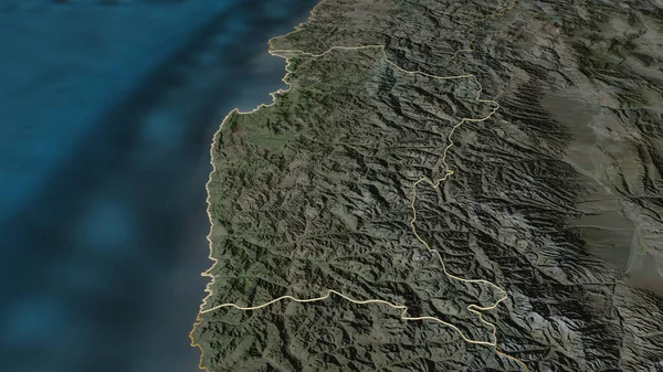
Stock image Zoom in on Los Lagos (region of Chile) extruded. Oblique perspective. Satellite imagery. 3D rendering

Published: Jul.07, 2020 14:33:40
Author: Yarr65
Views: 11
Downloads: 2
File type: image / jpg
File size: 3.48 MB
Orginal size: 3840 x 2160 px
Available sizes:
Level: bronze
Similar stock images

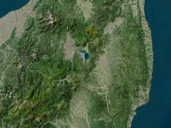
Zoom In On Los Lagos (region Of Chile) Outlined. Oblique Perspective. Satellite Imagery. 3D Rendering
3840 × 2160

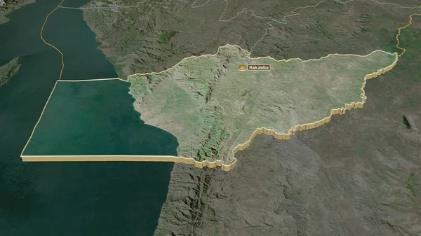
Zoom In On Makamba (province Of Burundi) Extruded. Oblique Perspective. Satellite Imagery. 3D Rendering
3840 × 2160