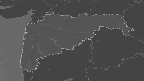
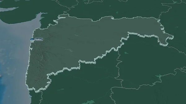
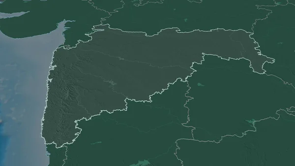
Stock image Zoom in on Maharashtra (state of India) outlined. Oblique perspective. Colored and bumped map of the administrative division with surface waters. 3D rendering
Published: Aug.18, 2020 11:22:41
Author: Yarr65
Views: 0
Downloads: 0
File type: image / jpg
File size: 1.06 MB
Orginal size: 3840 x 2160 px
Available sizes:
Level: bronze