photo free
Home Images Vectors Videos

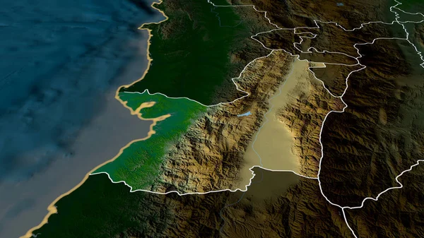
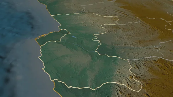
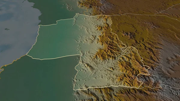
Stock image Zoom in on Namibe (province of Angola) outlined. Oblique perspective. Topographic relief map with surface waters. 3D rendering
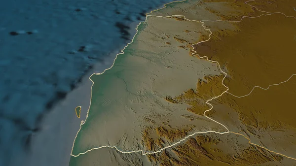
Stock image Zoom in on Namibe (province of Angola) outlined. Oblique perspective. Topographic relief map with surface waters. 3D rendering
Published: Aug.04, 2020 13:15:39
Author: Yarr65
Views: 1
Downloads: 0
File type: image / jpg
File size: 2.38 MB
Orginal size: 3840 x 2160 px
Available sizes:
S
(500 x 281)
M
(1000 x 563)
L
(2000 x 1125)
XL
(3840 x 2160)
EL0
(3840 x 2160)
Level: bronze
Download Image
Image topics:

Similar stock images

stock image Valle del Cauca - department of Colombia zoomed and highlighted. Main physical landscape features. 3D rendering

Valle Del Cauca - Department Of Colombia Zoomed And Highlighted. Main Physical Landscape Features. 3D Rendering

2880 × 1620
stock image Litoral, province of Equatorial Guinea. Colored elevation map with lakes and rivers

Litoral, Province Of Equatorial Guinea. Colored Elevation Map With Lakes And Rivers

3840 × 2880
stock image Zoom in on Bengo (province of Angola) outlined. Oblique perspective. Topographic relief map with surface waters. 3D rendering

Zoom In On Bengo (province Of Angola) Outlined. Oblique Perspective. Topographic Relief Map With Surface Waters. 3D Rendering

3840 × 2160
stock image Benguela, province of Angola. Elevation map colored in wiki style with lakes and rivers

Benguela, Province Of Angola. Elevation Map Colored In Wiki Style With Lakes And Rivers

3840 × 2880
stock image Zoom in on Mount Lebanon (governorate of Lebanon) outlined. Oblique perspective. Topographic relief map with surface waters. 3D rendering

Zoom In On Mount Lebanon (governorate Of Lebanon) Outlined. Oblique Perspective. Topographic Relief Map With Surface Waters. 3D Rendering

3840 × 2160
stock image Portugal area on the topographic relief map in the stereographic projection - raw composition of raster layers with dark glowing outline

Portugal Area On The Topographic Relief Map In The Stereographic Projection - Raw Composition Of Raster Layers With Dark Glowing Outline

2880 × 1620
stock image Litoral, province of Equatorial Guinea. Elevation map colored in wiki style with lakes and rivers

Litoral, Province Of Equatorial Guinea. Elevation Map Colored In Wiki Style With Lakes And Rivers

3840 × 2880
stock image Zoom in on Hajjah (governorate of Yemen) outlined. Oblique perspective. Topographic relief map with surface waters. 3D rendering

Zoom In On Hajjah (governorate Of Yemen) Outlined. Oblique Perspective. Topographic Relief Map With Surface Waters. 3D Rendering

3840 × 2160