Home
Images
Vectors
Videos
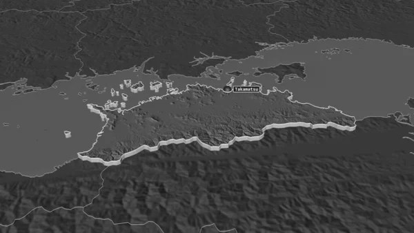
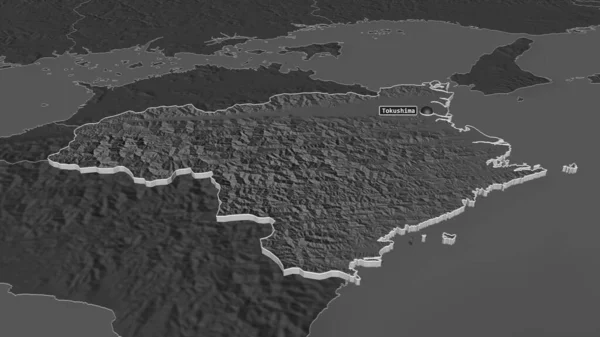
Stock image Zoom in on Tokushima (prefecture of Japan) extruded. Oblique perspective. Bilevel elevation map with surface waters. 3D rendering
Published:
Aug.21, 2020 09:07:43
Author:
Yarr65
Views:
0
Downloads:
0
File type:
image
/
jpg
File size:
1.31 MB
Orginal size:
3840
x
2160
px
Available sizes:
S
(500 x 281)
M
(1000 x 563)
L
(2000 x 1125)
XL
(3840 x 2160)
EL0
(3840 x 2160)
Level:
bronze
Download Image
Image topics:
View
Shape
Travel
Nature
Sea
Border
Landscape
Earth
Planet
World
Ocean
Science
Capital
Globe
Profile
Country
Map
Cartography
Geography
Continent
Land
Zoom
Asia
Japan
Tokyo
Region
Prefecture
Territory
Atlas
Overlay
3d Rendering
Tokushima
Subregion
Jpn
Bilevel
TOKUSIMA
Administrative Division
Extruded With Capital
Similar stock images
Zoom In On Kagawa (prefecture Of Japan) Extruded. Oblique Perspective. Bilevel Elevation Map With Surface Waters. 3D Rendering
3840 × 2160
Zoom In On Herrera (province Of Panama) Extruded. Oblique Perspective. Bilevel Elevation Map With Surface Waters. 3D Rendering
3840 × 2160
Zoom In On Jambi (province Of Indonesia) Extruded. Oblique Perspective. Bilevel Elevation Map With Surface Waters. 3D Rendering
3840 × 2160
Zoom In On Moyen-Ogooue (province Of Gabon) Extruded. Oblique Perspective. Bilevel Elevation Map With Surface Waters. 3D Rendering
3840 × 2160
Zoom In On Osaka (urban Prefecture Of Japan) Extruded. Oblique Perspective. Bilevel Elevation Map With Surface Waters. 3D Rendering
3840 × 2160
Zoom In On Tokushima (prefecture Of Japan) Outlined. Oblique Perspective. Bilevel Elevation Map With Surface Waters. 3D Rendering
3840 × 2160
Zoom In On Bocas Del Toro (province Of Panama) Extruded. Oblique Perspective. Bilevel Elevation Map With Surface Waters. 3D Rendering
3840 × 2160
Zoom In On Embera (indigenous Territory Of Panama) Extruded. Oblique Perspective. Bilevel Elevation Map With Surface Waters. 3D Rendering
3840 × 2160