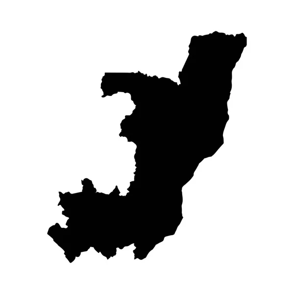
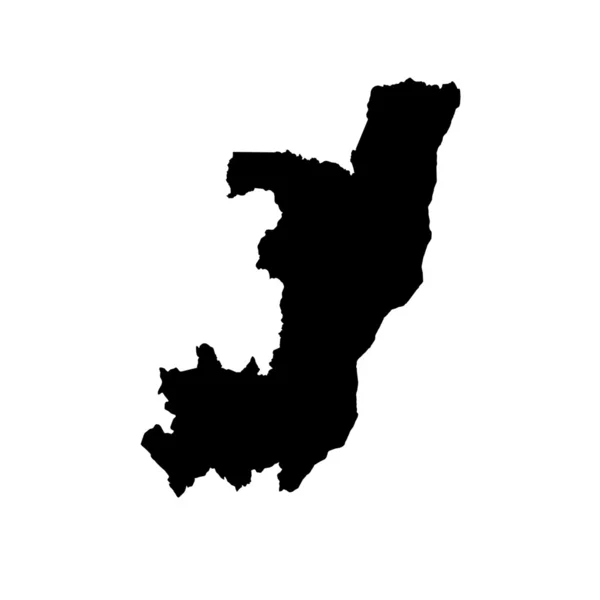
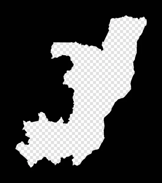
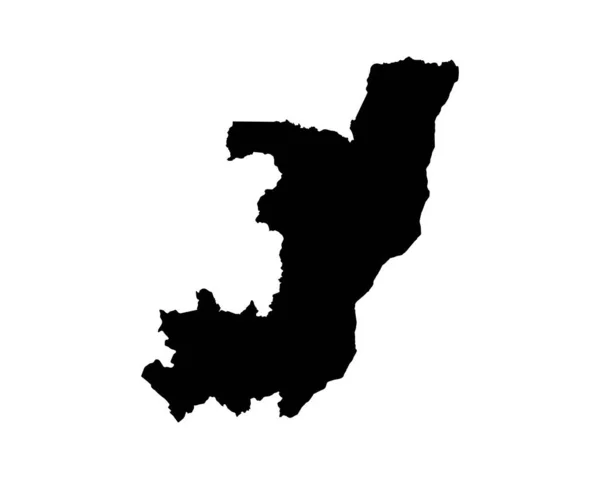
Stock vector Congo country vector map silhouette, high detailed illustration isolated on white background. State in Africa.

Published: May.29, 2019 10:28:16
Author: Dovla982
Views: 1
Downloads: 0
File type: vector / eps
File size: 0.29 MB
Orginal size: 4500 x 4800 px
Available sizes:
Level: bronze