Home
Images
Vectors
Videos
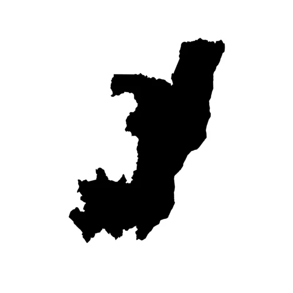
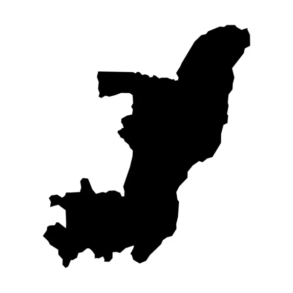
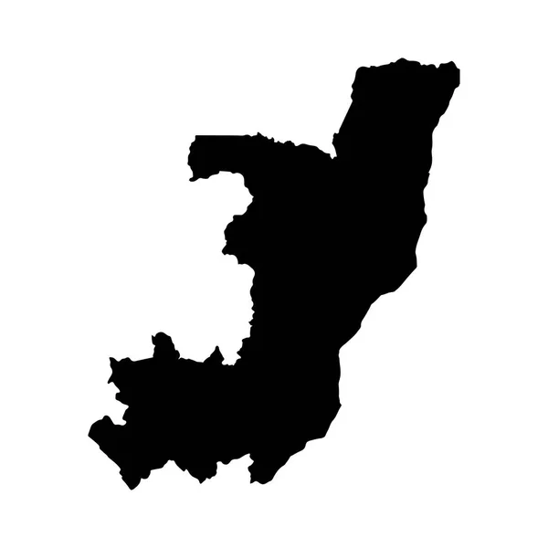
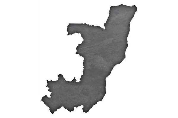
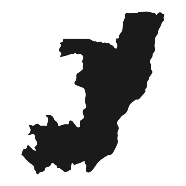
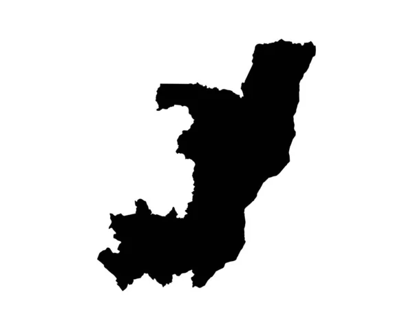
Stock vector Republic of the Congo Map. Congolese Country Map. Congo Brazzaville Black and White National Outline Geography Border Boundary Shape Territory EPS Vector Illustration Clipart
Published:
Aug.03, 2022 11:16:50
Author:
xileodesigns
Views:
1
Downloads:
0
File type:
vector
/
eps
File size:
5.74 MB
Orginal size:
5000
x
4000
px
Available sizes:
S
(500 x 400)
M
(1000 x 800)
L
(2000 x 1600)
XL
(5000 x 4000)
VECT
(5000 x 4000)
EL0
(5000 x 4000)
Level:
beginner
Download Vector
Vector topics:
Image
White
Vector
Background
Graphic
Illustration
Isolated
Shape
Sign
Art
Detail
Abstract
Cutout
Black
Cut
Silhouette
Border
Icon
Clip
Out
Artwork
Detailed
Clipart
Outline
Country
Map
Cartography
Geography
Area
National
Location
Boundary
Laser
Region
And
Atlas
Engraving
Decal
Nation
Eps
Congo
Ai
Congolese
Brazzaville
Locale
Republic Of The Congo
Similar stock vectors
Map Of The Country Of Congo
2431 × 2431
Vector Map Of Map Of Congo
5417 × 5417
Congo Country Vector Map Silhouette, High Detailed Illustration Isolated On White Background. State In Africa.
4500 × 4800
Vector Map Democratic Republic Of The Congo. Isolated Vector Illustration. Black On White Background. EPS 10 Illustration.
5000 × 5000
Vector Map Democratic Republic Of The Congo. Isolated Vector Illustration. Black On White Background. EPS 10 Illustration.
5000 × 5000
Congo Silhouette Map Isolated On White Background
4384 × 5000
Map Of Republic Of The Congo On Dark Slate
4288 × 2848
Highly Detailed Republic Of The Congo Map With Borders Isolated On Background
8334 × 8334