Home
Images
Vectors
Videos
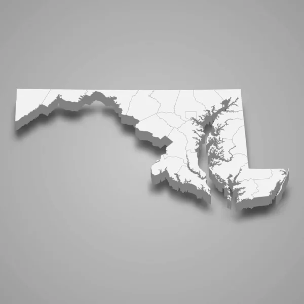
Stock vector 3d map of Maryland is a state of United States
Published:
Jun.01, 2020 21:28:30
Author:
grebeshkovmaxim@gmail.com
Views:
0
Downloads:
0
File type:
vector
/
eps
File size:
10.43 MB
Orginal size:
4000
x
4000
px
Available sizes:
S
(500 x 500)
M
(1000 x 1000)
L
(2000 x 2000)
XL
(4000 x 4000)
VECT
(4000 x 4000)
EL0
(4000 x 4000)
Level:
silver
Download Vector
Vector topics:
Graphic
Illustration
Travel
Texture
Border
3d
City
American
Us
Usa
Tourism
Detailed
Town
Capital
Famous
Outline
District
Map
Cartography
Geography
Plan
Area
Overview
State
Guide
America
Review
Government
Political
Administrative
Region
Division
Prefecture
Sub
Province
Maryland
County
Isometric
Mapping
Boroughs
United States
Fredericton
Similar stock vectors
Accurate Map Of Maryland
5000 × 4000
Map Of Maryland
5000 × 4000
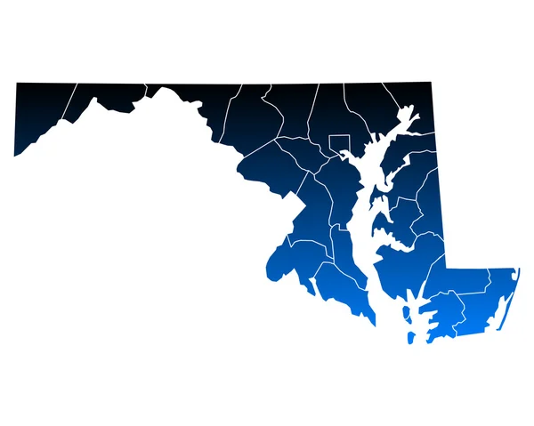
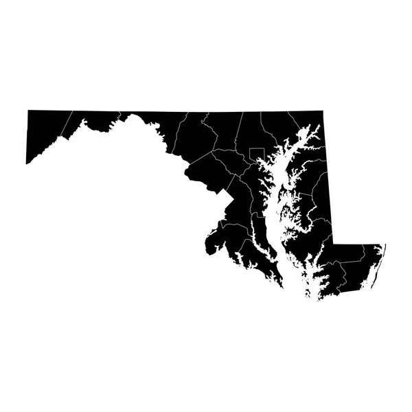
High Quality Map Of Maryland Is A State Of United States Of America With Borders Of The Counties
4000 × 4000
Vector Maryland Map Silhouette. Isolated Vector Illustration. Black On White Background.
5270 × 4744
Accurate Map Of Maryland
5000 × 4000
Maryland State Map With Counties. Vector Illustration.
8334 × 8334
Map Of Maryland
5000 × 4000