Home
Images
Vectors
Videos
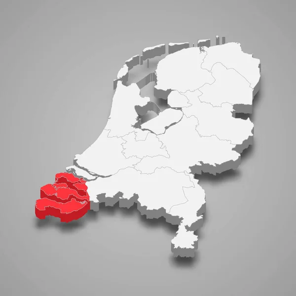
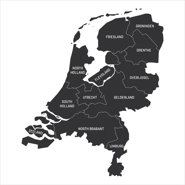
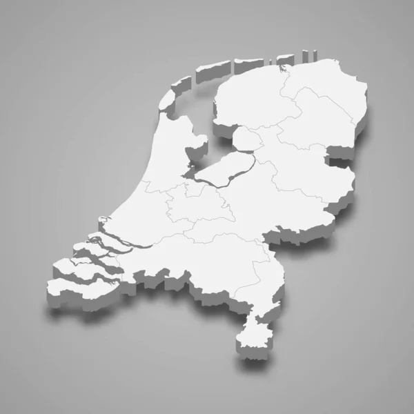
Stock vector 3d map of Netherlands with borders of regions
Published:
Jun.01, 2020 21:24:24
Author:
grebeshkovmaxim@gmail.com
Views:
88
Downloads:
8
File type:
vector
/
eps
File size:
2.64 MB
Orginal size:
4000
x
4000
px
Available sizes:
S
(500 x 500)
M
(1000 x 1000)
L
(2000 x 2000)
XL
(4000 x 4000)
VECT
(4000 x 4000)
EL0
(4000 x 4000)
Level:
silver
Download Vector
Vector topics:
White
Vector
Graphic
Illustration
Design
Isolated
Travel
Black
Line
Border
3d
Gray
Float
Flat
Part
Grey
Shadow
World
Netherlands
Holland
Country
District
Map
Geography
Area
National
Continent
Land
Boundary
Geographic
States
Region
Dimension
Federal
Territory
Frontier
Atlas
Borderline
Zone
Province
Dutch
Nation
Isometric
Similar stock vectors
Utrecht Province Location Within Netherlands 3d Isometric Map
4000 × 4000
Zeeland Province Location Within Netherlands 3d Isometric Map
4000 × 4000
Netherlands Map, Administrative Division, Blue White Card Paper 3D Blank
4103 × 4000
Netherlands Provinces Map
4324 × 5000
Map Of The Netherlands
4000 × 5000
Netherlands Regions Map Vector
5200 × 5200
Netherlands - Map Of Provinces
6000 × 6000
Map Of Thr Netherlands
4000 × 5000